Specialized Zone · Philippines

New Jubilee Agro-Industrial Economic Zone Active
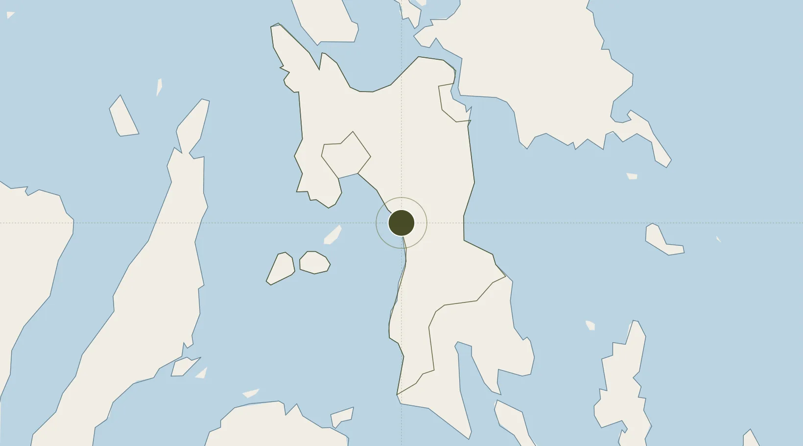
10.8194°, 124.7834°
5 ha
Zone area
15.2 km
Nearest port
35.6 km
Nearest airport

Gateway access

Nearest neighbours — logibook spatial index (haversine) over the source coordinates

Zone profile

Zone type
Specialized Zone
Open Zone Map
Specialization
Agriculture
Open Zone Map
Region
Leyte
Open Zone Map
Status
Active
Open Zone Map
Management
Private
Open Zone Map
Operator
Specialty Pulp Manufacturing, Inc.
Open Zone Map
Legal framework
Special Economic Zone Act (Republic Act No. 7916) (as amended by Republic Act No. 8748)
Open Zone Map

Location

Location of ozm-3331
Natural Earth 10m (public domain) · Leyte · ozm-3331 · 10.82, 124.78GoogleOSMYandex

Nearby Logistics Neighbours

Ports
  1. 1Baybay15 km
  2. 2Ormoc28 km
  3. 3Isabel40 km
  4. 4Tanauan40 km
  5. 5Palompon51 km
Nearest neighbours — logibook spatial index (haversine) over the source coordinates
Airports
  1. 1Ormoc Airport36 km
  2. 2Daniel Z. Romualdez Airport53 km
  3. 3Mactan Cebu International Airport105 km
  4. 4Surigao Airport141 km
  5. 5Calbayog Airport142 km
Nearest neighbours — logibook spatial index (haversine) over the source coordinates
Cities
  1. 1Albuera23 km
  2. 2Hilongos51 km
  3. 3Carigara55 km
  4. 4Capoocan55 km
  5. 5Leyte69 km
Nearest neighbours — logibook spatial index (haversine) over the source coordinates
Trade Zones
  1. 1Leyte Industrial Development Estate39 km
  2. 2Leyte Information Communication Technology Park46 km
  3. 3Leyte Mikyu Economic Zone47 km
  4. 4Kananga Special Economic Zone50 km
  5. 5Eastern Visayas Regional Growth Center57 km
Nearest neighbours — logibook spatial index (haversine) over the source coordinates
DatabookThe Record of Consolidated Knowledge
Philippines beyond logistics?
Browse databook

All Sources

Trade ZonesOpen Zone Map
CC BY
Portsthe NGA World Port Index
Public domain (US gov)
AirportsOurAirports
Public domain
LocationsUN/LOCODE
UN/LOCODE — free
← Philippines trade zones