Medium airport · Philippines
Ormoc AirportRPVO
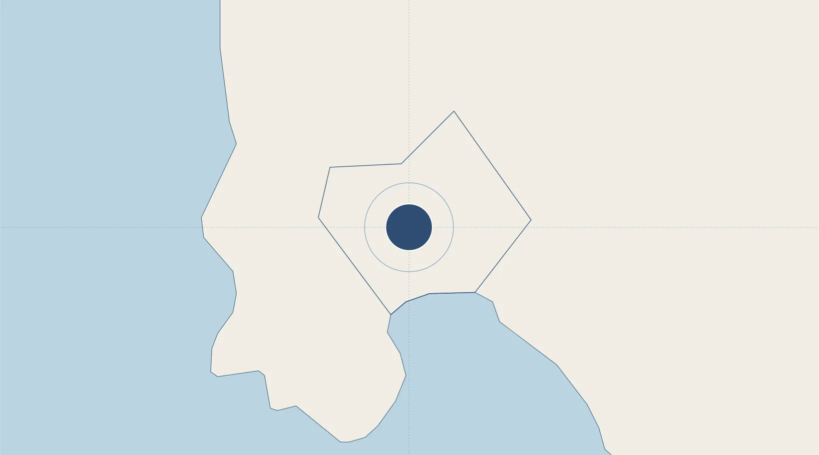
11.0577°, 124.5656°
6,120 ft
Longest runway
1
Runways
83 ft
Elevation
Runway & Layout

Radio Frequencies
UNICOM
121.9 MHz
Ormoc Traffic Advisory
Runways · 1
| Runway | Dimensions | Surface | True heading | Lit |
|---|---|---|---|---|
| 18/36 | 6,120 × 118ft | Concrete | 184° | — |
Airport Specifications
IATA code
OMC
ICAO code
RPVO
Airport class
Medium airport
Scheduled service
No
Runway surface
Concrete
Served city
Ormoc City
Location
Nearby Logistics Neighbours
Airports
- 1Daniel Z. Romualdez Airport54 km
- 2Mactan Cebu International Airport105 km
- 3Calbayog Airport113 km
- 4Catarman National Airport161 km
- 5Bacolod-Silay International Airport172 km
Cities
- 1Albuera13 km
- 2Capoocan29 km
- 3Carigara30 km
- 4Leyte36 km
- 5Calubian, Leyte45 km
DatabookThe Record of Consolidated Knowledge
Philippines beyond logistics?