Specialized Zone · Philippines

SM CDO Downtown Tower Under Development
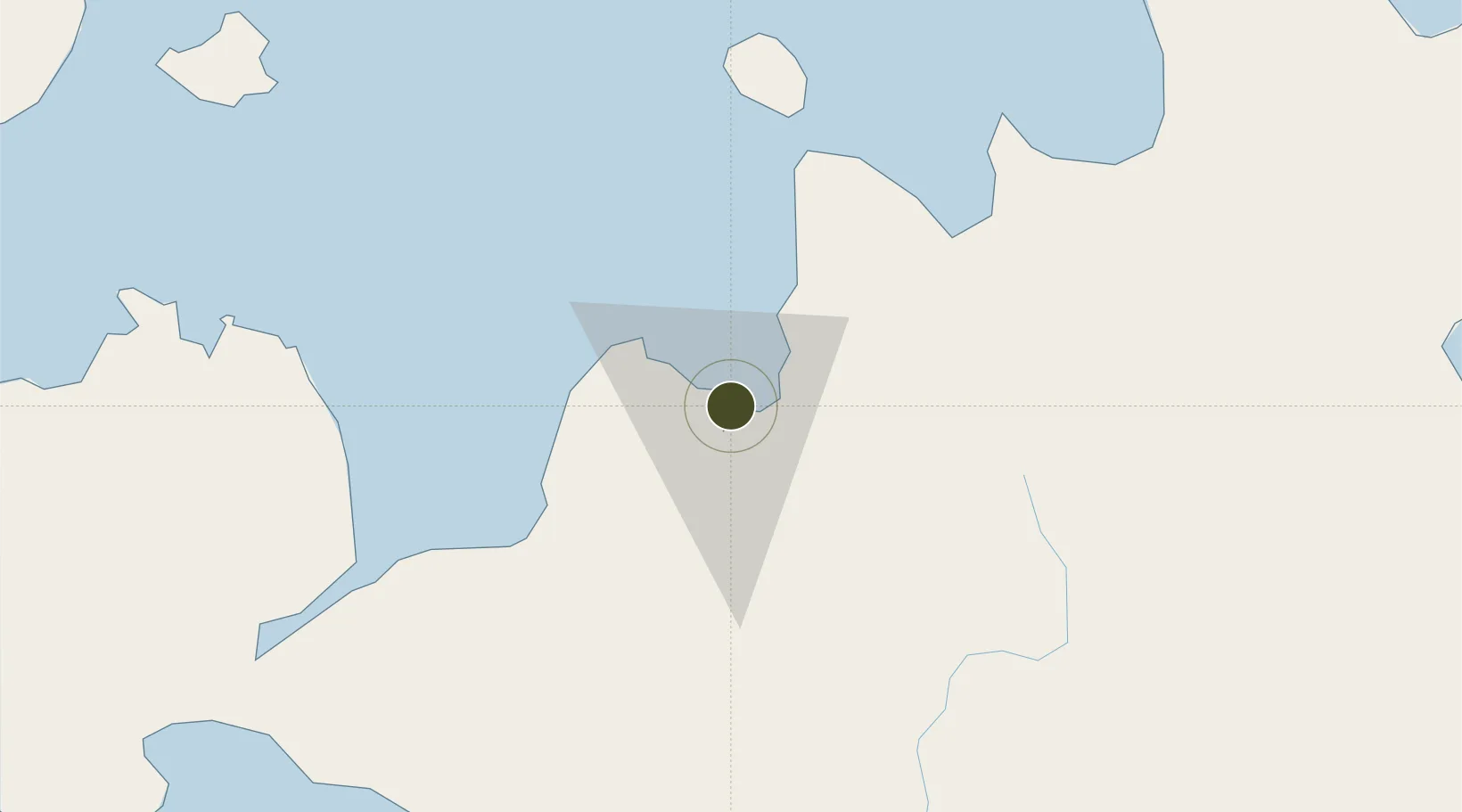
8.4845°, 124.6518°
3 ha
Zone area
2.4 km
Nearest port
25.7 km
Nearest airport

Gateway access

Nearest neighbours — logibook spatial index (haversine) over the source coordinates

Zone profile

Zone type
Specialized Zone
Open Zone Map
Specialization
IT
Open Zone Map
Region
Cagayan de Oro
Open Zone Map
Status
Under Development
Open Zone Map
Management
Private
Open Zone Map
Operator
SM Prime Holdings, Inc.
Open Zone Map
Legal framework
Special Economic Zone Act (Republic Act No. 7916) (as amended by Republic Act No. 8748)
Open Zone Map

Location

Location of ozm-3765
Natural Earth 10m (public domain) · Cagayan de Oro · ozm-3765 · 8.48, 124.65GoogleOSMYandex

Nearby Logistics Neighbours

Ports
  1. 1Cagayan De Oro2 km
  2. 2Bugo11 km
  3. 3Villanueva17 km
  4. 4Iligan54 km
  5. 5Gingoog63 km
Nearest neighbours — logibook spatial index (haversine) over the source coordinates
Airports
  1. 1Laguindingan International Airport26 km
  2. 2Camiguin Airport86 km
  3. 3Labo Airport95 km
  4. 4Bancasi Airport105 km
  5. 5Dipolog Airport145 km
Nearest neighbours — logibook spatial index (haversine) over the source coordinates
Cities
  1. 1Cagayan de Oro, Mindanao8 km
  2. 2Opol10 km
  3. 3Tagoloan11 km
  4. 4Jasaan21 km
  5. 5Balingasag33 km
Nearest neighbours — logibook spatial index (haversine) over the source coordinates
Trade Zones
  1. 1Limketkai Mall Module-2 BPO & Cyberpark Buildin0 km
  2. 2Centrio Corporate Center0 km
  3. 3Robinsons Cagayan de Oro0 km
  4. 4Limketkai IT Center0 km
  5. 5One Providence (BPO)1 km
Nearest neighbours — logibook spatial index (haversine) over the source coordinates
DatabookThe Record of Consolidated Knowledge
Philippines beyond logistics?
Browse databook

All Sources

Trade ZonesOpen Zone Map
CC BY
Portsthe NGA World Port Index
Public domain (US gov)
AirportsOurAirports
Public domain
LocationsUN/LOCODE
UN/LOCODE — free
← Philippines trade zones