Seaport · Norway

SkudeneshavnNOSKU

59.1433°, 5.2583°
6.4 m
Channel depth
10.9
Port liner connectivity
Skudeneshavn is also a UN/LOCODE logistics hub →

Channel & Berth Profile

SEA LEVEL (CD)CHANNEL BEDAnchorage · 4.9 mCargo pier · 4.9 mChannel · 6.4 mOil terminal · 6.4 m
NGA World Port Index

Pilotage, Tugs & Services

Pilotage availableYES
Pilotage advisableYES
Tug assistanceYES
Potable waterYES
MedicalYES
Garbage disposalYES
NGA World Port Index

Facilities & Capabilities

Container
Ro-Ro
Liquid bulk
Dry bulk
Oil terminal
Break bulk
Dry dock
RepairsNO
BunkeringYES
Rail link
Dangerous cargo
ISPS security
NGA World Port Index

Harbour Specifications

Harbour size
Very Small
NGA World Port Index
Harbour type
Coastal (Breakwater)
NGA World Port Index
Shelter
Good
NGA World Port Index
Water body
North Sea; North Atlantic Ocean
NGA World Port Index
Overhead limit
No
NGA World Port Index

Liner Connectivity

10.9
PLSCI

Port Liner Shipping Connectivity Index for Skudeneshavn, as published by UNCTAD for the latest available quarter. Higher values indicate stronger scheduled liner-shipping integration.

Shown relative to the highest per-port PLSCI in the dataset (1,657.9).
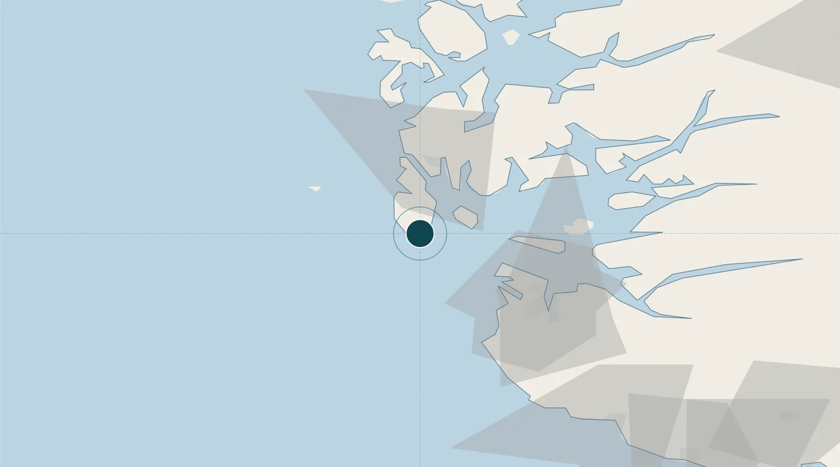
UNCTAD · Port Liner Shipping Connectivity Index

Location

Location of NOSKU
Natural Earth 10m (public domain) · Rogaland · NOSKU · 59.14, 5.26GoogleOSMYandex

Nearby Logistics Neighbours

Ports
  1. 1Akrahamn14 km
  2. 2Kopervik16 km
  3. 3Karsto20 km
  4. 4Tananger30 km
  5. 5Haugesund30 km
Nearest neighbours — logibook spatial index (haversine) over the source coordinates
Cities
  1. 1Bokn13 km
  2. 2Åkrehamn13 km
  3. 3Kvitsøy14 km
  4. 4Sævlandsvik14 km
  5. 5Vedavågen16 km
Nearest neighbours — logibook spatial index (haversine) over the source coordinates
Airports
  1. 1Haugesund Airport, Karmøy23 km
  2. 2Stavanger Airport, Sola37 km
  3. 3Stord Airport, Sørstokken72 km
  4. 4Bergen Airport, Flesland128 km
  5. 5Kristiansand Airport194 km
Nearest neighbours — logibook spatial index (haversine) over the source coordinates
Trade Zones
  1. 1Gothenburg Boundless Customs Warehouse414 km
  2. 2Freeport of Kiel613 km
  3. 3North Eastern Enterprise Zone623 km
  4. 4Freeport of Cuxhaven (Freihafen Cuxhaven)625 km
  5. 5Tees Valley Enterprise Zone639 km
Nearest neighbours — logibook spatial index (haversine) over the source coordinates
DatabookThe Record of Consolidated Knowledge
Norway beyond logistics?
Browse databook

All Sources

Portsthe NGA World Port Index
Public domain (US gov)
Logistics performanceUNCTAD
CC BY 3.0 IGO
AirportsOurAirports
Public domain
LocationsUN/LOCODE
UN/LOCODE — free
Trade Zonesthe World Bank SEZ database
CC BY 4.0
Trade ZonesOpen Zone Map
CC BY
← Norway ports