UN/LOCODE hub · Norway
NOAKM

Åkrehamn

59.2500°, 5.1667°
5,018
Population
1
Transport functions

Transport Functions

Port
Åkrehamn is also a profiled seaport →
UN/LOCODE

Hub Profile

Place type
Populated place
GeoNames
Region
Rogaland
GeoNames
Population
5,018
GeoNames
Time zone
Europe/Oslo
GeoNames
Elevation
4 m
GeoNames

Location

Location of NOAKM
Natural Earth 10m (public domain) · Rogaland · NOAKM · 59.25, 5.17GoogleOSMYandex

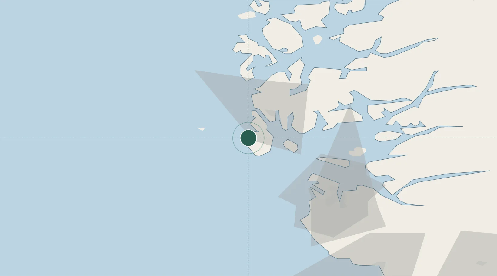
Nearby Logistics Neighbours

Cities
  1. 1Sævlandsvik2 km
  2. 2Vedavågen5 km
  3. 3Sund - Karmøy7 km
  4. 4Kopervik8 km
  5. 5Byggnes - Karmøy9 km
Nearest neighbours — logibook spatial index (haversine) over the source coordinates
Ports
  1. 1Kopervik9 km
  2. 2Skudeneshavn13 km
  3. 3Haugesund19 km
  4. 4Karsto20 km
  5. 5Tananger42 km
Nearest neighbours — logibook spatial index (haversine) over the source coordinates
Airports
  1. 1Haugesund Airport, Karmøy11 km
  2. 2Stavanger Airport, Sola50 km
  3. 3Stord Airport, Sørstokken61 km
  4. 4Bergen Airport, Flesland116 km
  5. 5Kristiansand Airport205 km
Nearest neighbours — logibook spatial index (haversine) over the source coordinates
Trade Zones
  1. 1Gothenburg Boundless Customs Warehouse423 km
  2. 2Freeport of Kiel626 km
  3. 3North Eastern Enterprise Zone628 km
  4. 4Freeport of Cuxhaven (Freihafen Cuxhaven)638 km
  5. 5Tees Valley Enterprise Zone644 km
Nearest neighbours — logibook spatial index (haversine) over the source coordinates
DatabookThe Record of Consolidated Knowledge
Norway beyond logistics?
Browse databook

All Sources

LocationsUN/LOCODE
UN/LOCODE — free
LocationsGeoNames
CC BY 4.0
Portsthe NGA World Port Index
Public domain (US gov)
AirportsOurAirports
Public domain
Trade Zonesthe World Bank SEZ database
CC BY 4.0
Trade ZonesOpen Zone Map
CC BY
← Norway locations