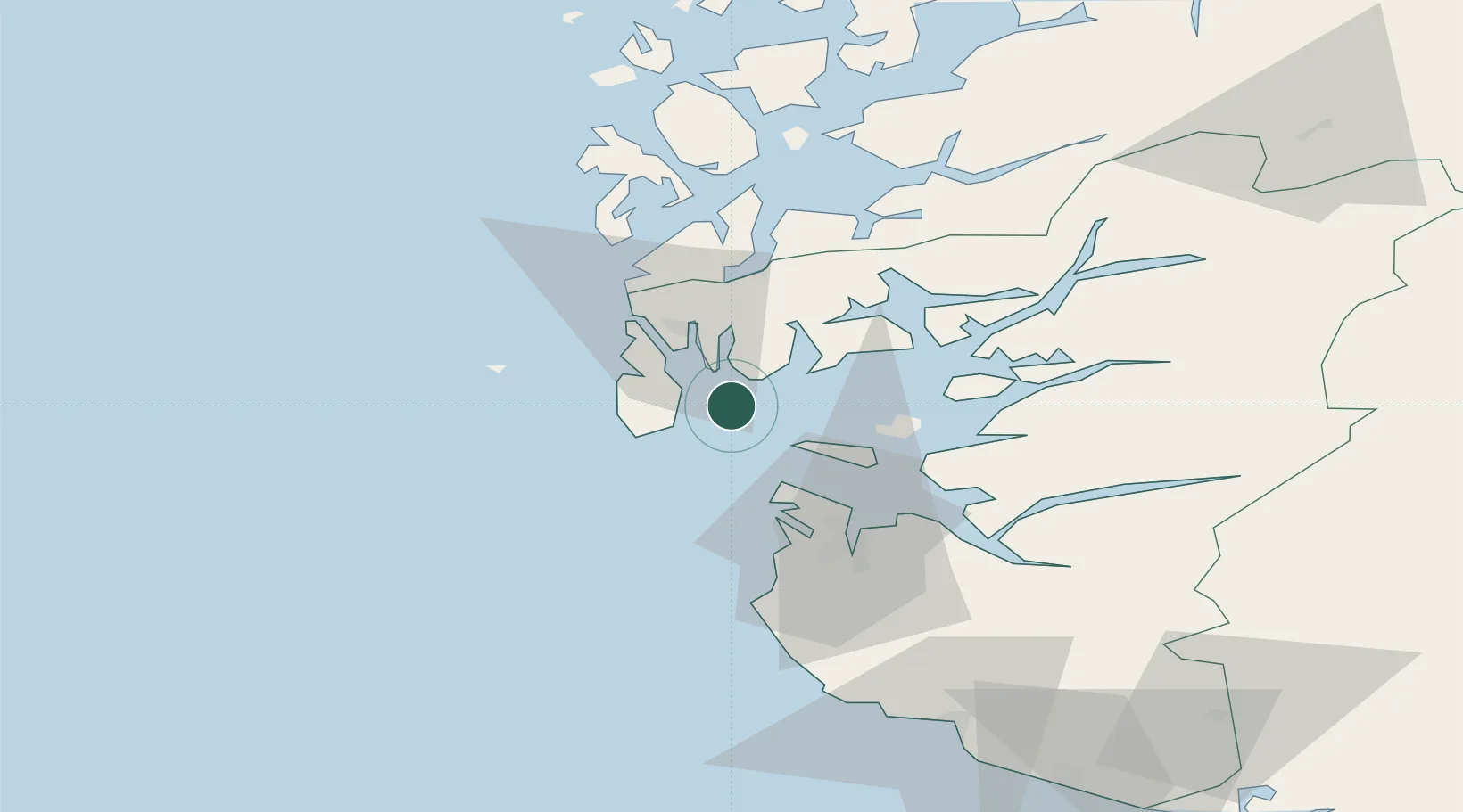
UN/LOCODE hub · Norway
NOBOK

Bokn

59.2167°, 5.4333°
1
Transport functions

Transport Functions

Port
UN/LOCODE

Hub Profile

Place type
Provincial seat
GeoNames
Region
Rogaland
GeoNames
Time zone
Europe/Oslo
GeoNames
Elevation
24 m
GeoNames

Location

Location of NOBOK
Natural Earth 10m (public domain) · Rogaland · NOBOK · 59.22, 5.43GoogleOSMYandex

Nearby Logistics Neighbours

Cities
  1. 1Kårstø7 km
  2. 2Susort8 km
  3. 3Kopervik11 km
  4. 4Håvik11 km
  5. 5Gismarvik12 km
Nearest neighbours — logibook spatial index (haversine) over the source coordinates
Ports
  1. 1Karsto7 km
  2. 2Kopervik10 km
  3. 3Skudeneshavn13 km
  4. 4Akrahamn15 km
  5. 5Haugesund24 km
Nearest neighbours — logibook spatial index (haversine) over the source coordinates
Airports
  1. 1Haugesund Airport, Karmøy19 km
  2. 2Stavanger Airport, Sola40 km
  3. 3Stord Airport, Sørstokken64 km
  4. 4Bergen Airport, Flesland120 km
  5. 5Kristiansand Airport190 km
Nearest neighbours — logibook spatial index (haversine) over the source coordinates
Trade Zones
  1. 1Gothenburg Boundless Customs Warehouse407 km
  2. 2Freeport of Kiel615 km
  3. 3Freeport of Cuxhaven (Freihafen Cuxhaven)629 km
  4. 4North Eastern Enterprise Zone636 km
  5. 5Tees Valley Enterprise Zone651 km
Nearest neighbours — logibook spatial index (haversine) over the source coordinates
DatabookThe Record of Consolidated Knowledge
Norway beyond logistics?
Browse databook

All Sources

LocationsUN/LOCODE
UN/LOCODE — free
Portsthe NGA World Port Index
Public domain (US gov)
AirportsOurAirports
Public domain
Trade Zonesthe World Bank SEZ database
CC BY 4.0
Trade ZonesOpen Zone Map
CC BY
← Norway locations