UN/LOCODE hub · Norway
NOSVL

Sævlandsvik

59.2667°, 5.1833°
1
Transport functions

Transport Functions

Port
UN/LOCODE

Hub Profile

Region
11
GeoNames

Location

Location of NOSVL
Natural Earth 10m (public domain) · 11 · NOSVL · 59.27, 5.18GoogleOSMYandex

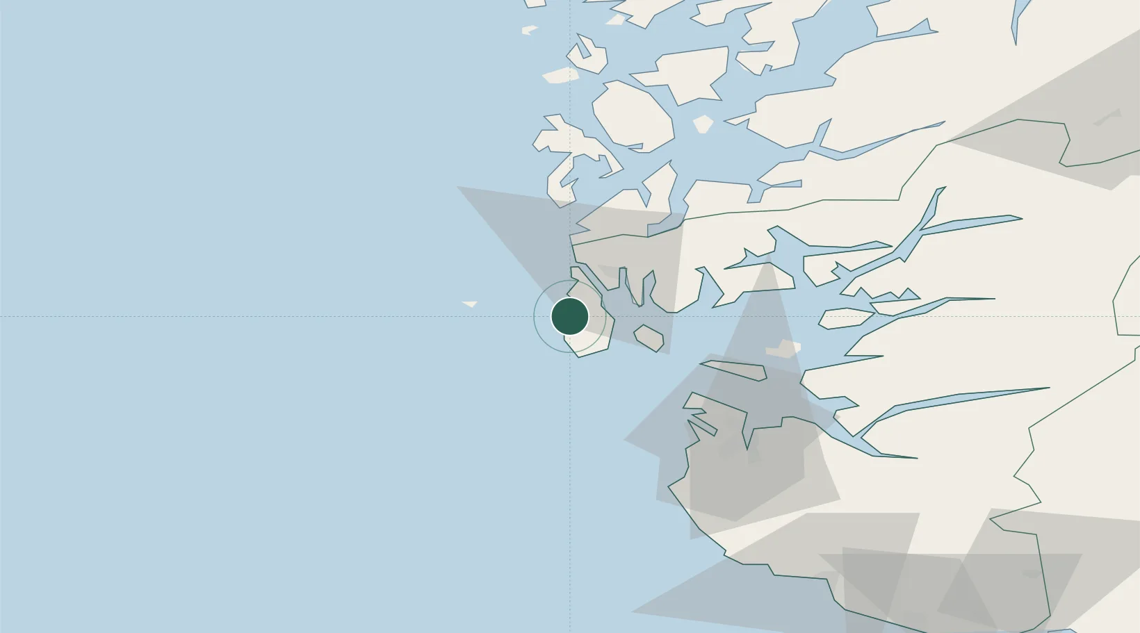
Nearby Logistics Neighbours

Cities
  1. 1Åkrehamn2 km
  2. 2Vedavågen3 km
  3. 3Sund - Karmøy5 km
  4. 4Kopervik7 km
  5. 5Byggnes - Karmøy8 km
Nearest neighbours — logibook spatial index (haversine) over the source coordinates
Ports
  1. 1Akrahamn0 km
  2. 2Kopervik8 km
  3. 3Skudeneshavn14 km
  4. 4Haugesund17 km
  5. 5Karsto19 km
Nearest neighbours — logibook spatial index (haversine) over the source coordinates
Airports
  1. 1Haugesund Airport, Karmøy9 km
  2. 2Stavanger Airport, Sola51 km
  3. 3Stord Airport, Sørstokken59 km
  4. 4Bergen Airport, Flesland114 km
  5. 5Kristiansand Airport205 km
Nearest neighbours — logibook spatial index (haversine) over the source coordinates
Trade Zones
  1. 1Gothenburg Boundless Customs Warehouse422 km
  2. 2Freeport of Kiel627 km
  3. 3North Eastern Enterprise Zone630 km
  4. 4Freeport of Cuxhaven (Freihafen Cuxhaven)639 km
  5. 5Tees Valley Enterprise Zone646 km
Nearest neighbours — logibook spatial index (haversine) over the source coordinates
DatabookThe Record of Consolidated Knowledge
Norway beyond logistics?
Browse databook

All Sources

LocationsUN/LOCODE
UN/LOCODE — free
Portsthe NGA World Port Index
Public domain (US gov)
AirportsOurAirports
Public domain
Trade Zonesthe World Bank SEZ database
CC BY 4.0
Trade ZonesOpen Zone Map
CC BY
← Norway locations