Transport Functions
Port
Road
Hub Profile
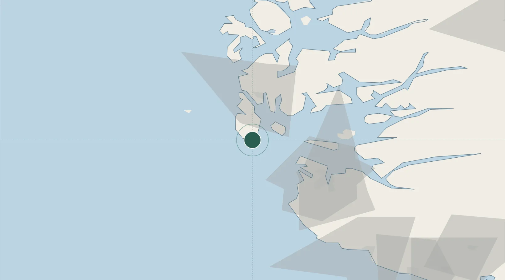
Place type
Populated place
Region
Rogaland
Population
3,334
Time zone
Europe/Oslo
Elevation
5 m
Location
Nearby Logistics Neighbours
Cities
- 1Kvitsøy13 km
- 2Bokn13 km
- 3Åkrehamn14 km
- 4Sævlandsvik16 km
- 5Kopervik17 km
Airports
- 1Haugesund Airport, Karmøy24 km
- 2Stavanger Airport, Sola36 km
- 3Stord Airport, Sørstokken73 km
- 4Bergen Airport, Flesland129 km
- 5Kristiansand Airport193 km
Trade Zones
DatabookThe Record of Consolidated Knowledge
Norway beyond logistics?