UN/LOCODE hub · Norway
NOSKE

Skien

59.2000°, 9.6000°
50,595
Population
4
Transport functions

Transport Functions

Port
Rail
Road
Airport
Skien is also a profiled seaport →
UN/LOCODE

Hub Profile

Place type
Regional capital
GeoNames
Region
Telemark
GeoNames
Population
50,595
GeoNames
Time zone
Europe/Oslo
GeoNames
Elevation
27 m
GeoNames

Location

Location of NOSKE
Natural Earth 10m (public domain) · Telemark · NOSKE · 59.20, 9.60GoogleOSMYandex

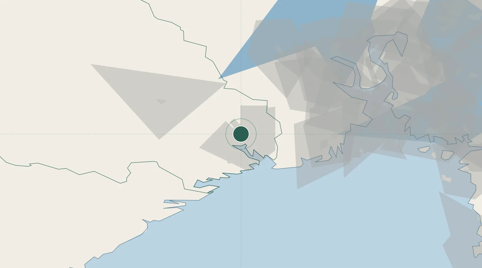
Nearby Logistics Neighbours

Cities
  1. 1Menstad4 km
  2. 2Porsgrunn8 km
  3. 3Herøya9 km
  4. 4Herre11 km
  5. 5Rafnes11 km
Nearest neighbours — logibook spatial index (haversine) over the source coordinates
Ports
  1. 1Porsgrunn7 km
  2. 2Brevik16 km
  3. 3Larvik31 km
  4. 4Sandefjorden38 km
  5. 5Kragero39 km
Nearest neighbours — logibook spatial index (haversine) over the source coordinates
Airports
  1. 1Skien Airport3 km
  2. 2Sandefjord Airport, Torp38 km
  3. 3Notodden Airport46 km
  4. 4Moss Airport, Rygge70 km
  5. 5Oslo-Gardermoen International Airport139 km
Nearest neighbours — logibook spatial index (haversine) over the source coordinates
Trade Zones
  1. 1Gothenburg Boundless Customs Warehouse210 km
  2. 2Jönköping Free Zone306 km
  3. 3Freeport of Copenhagen- Nordhavn427 km
  4. 4MTS Malmö Transport and Spedition451 km
  5. 5Freeport of Kiel542 km
Nearest neighbours — logibook spatial index (haversine) over the source coordinates
DatabookThe Record of Consolidated Knowledge
Norway beyond logistics?
Browse databook

All Sources

LocationsUN/LOCODE
UN/LOCODE — free
LocationsGeoNames
CC BY 4.0
Portsthe NGA World Port Index
Public domain (US gov)
AirportsOurAirports
Public domain
Trade Zonesthe World Bank SEZ database
CC BY 4.0
Trade ZonesOpen Zone Map
CC BY
← Norway locations