Transport Functions
Port
Rail
Road
Hub Profile
Place type
Provincial seat
Region
Telemark
Population
34,377
Time zone
Europe/Oslo
Elevation
9 m
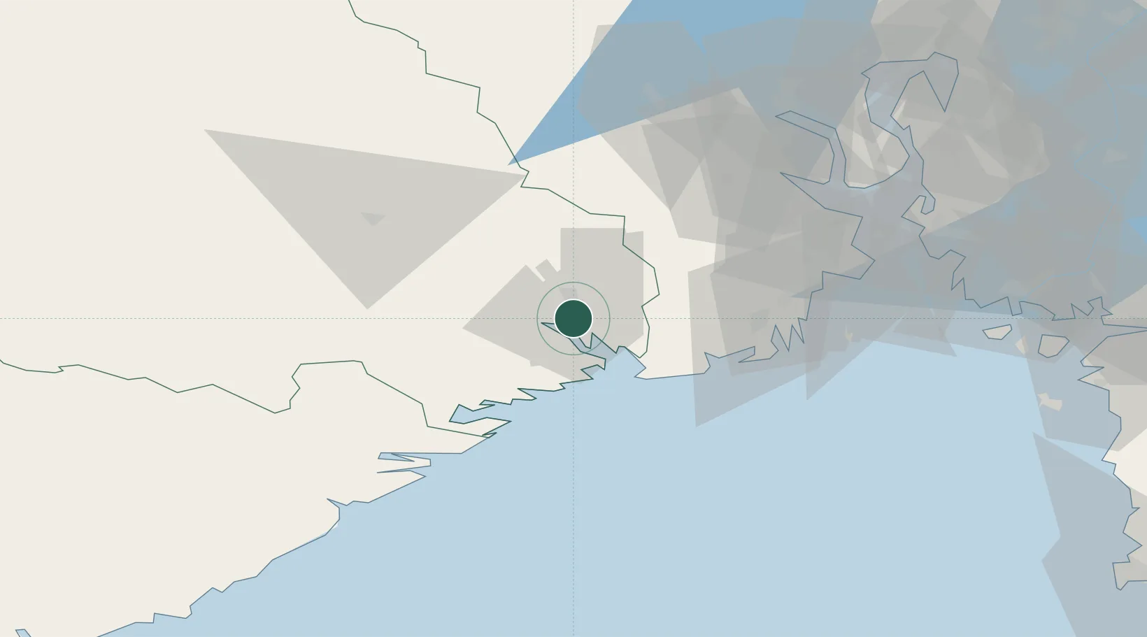
Location
Nearby Logistics Neighbours
Ports
- 1Skien8 km
- 2Brevik8 km
- 3Larvik25 km
- 4Kragero33 km
- 5Sandefjorden34 km
Airports
- 1Skien Airport7 km
- 2Sandefjord Airport, Torp36 km
- 3Notodden Airport54 km
- 4Moss Airport, Rygge71 km
- 5Kristiansand Airport137 km
Trade Zones
- 1Gothenburg Boundless Customs Warehouse203 km
- 2Jönköping Free Zone301 km
- 3Freeport of Copenhagen- Nordhavn420 km
- 4MTS Malmö Transport and Spedition444 km
- 5Freeport of Kiel535 km
DatabookThe Record of Consolidated Knowledge
Norway beyond logistics?