Transport Functions
Port
Hub Profile
Place type
Provincial seat
Region
Vestland
Time zone
Europe/Oslo
Elevation
48 m
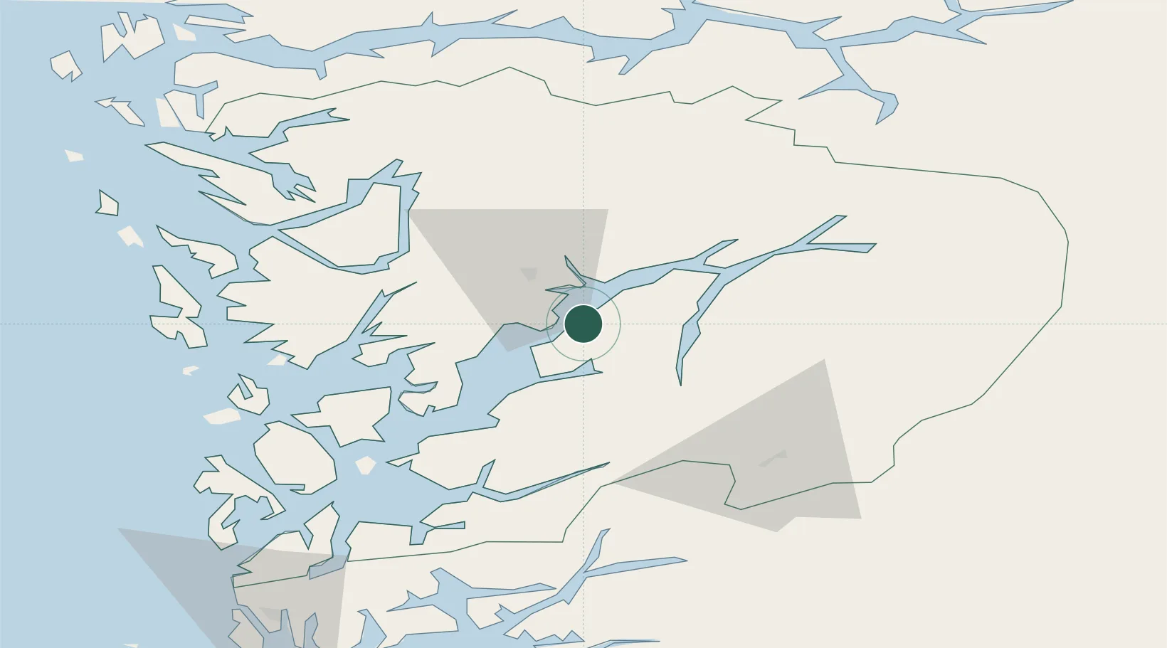
Location
Nearby Logistics Neighbours
Cities
- 1Norheimsund12 km
- 2Fjellstrand16 km
- 3Omastranda16 km
- 4Ålvik20 km
- 5Hovland22 km
Ports
- 1Norheimsund12 km
- 2Odda25 km
- 3Vaksdal36 km
- 4Husnes51 km
- 5Bergen54 km
Airports
- 1Bergen Airport, Flesland56 km
- 2Stord Airport, Sørstokken72 km
- 3Sogndal Airport, Haukåsen111 km
- 4Haugesund Airport, Karmøy117 km
- 5Førde Airport, Bringeland128 km
Trade Zones
- 1Gothenburg Boundless Customs Warehouse428 km
- 2Jönköping Free Zone528 km
- 3Freeport of Copenhagen- Nordhavn630 km
- 4MTS Malmö Transport and Spedition657 km
- 5Freeport of Kiel701 km
DatabookThe Record of Consolidated Knowledge
Norway beyond logistics?