Transport Functions
Port
Road
Hub Profile
Place type
Provincial seat
Region
Vestland
Population
4,876
Time zone
Europe/Oslo
Elevation
53 m
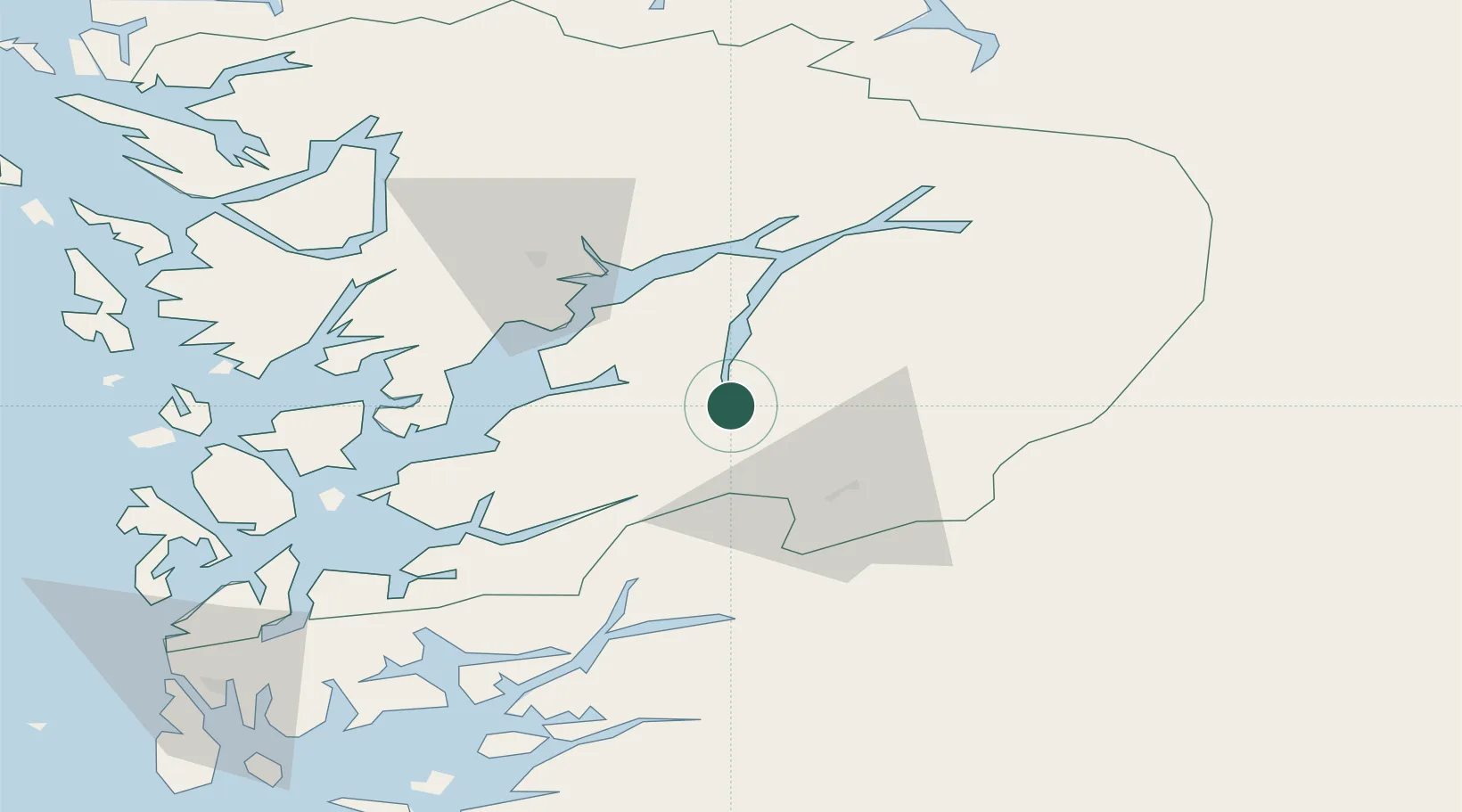
Location
Nearby Logistics Neighbours
Cities
- 1Tyssedal6 km
- 2Hovland19 km
- 3Jondal28 km
- 4Ullensvang29 km
- 5Dimmelsvik33 km
Ports
- 1Norheimsund39 km
- 2Husnes48 km
- 3Sauda49 km
- 4Vaksdal64 km
- 5Leirvik67 km
Airports
- 1Stord Airport, Sørstokken73 km
- 2Bergen Airport, Flesland77 km
- 3Haugesund Airport, Karmøy109 km
- 4Sogndal Airport, Haukåsen126 km
- 5Stavanger Airport, Sola142 km
Trade Zones
- 1Gothenburg Boundless Customs Warehouse401 km
- 2Jönköping Free Zone503 km
- 3Freeport of Copenhagen- Nordhavn602 km
- 4MTS Malmö Transport and Spedition629 km
- 5Freeport of Kiel674 km
DatabookThe Record of Consolidated Knowledge
Norway beyond logistics?