Transport Functions
Port
Hub Profile
Place type
Populated place
Region
Vestland
Time zone
Europe/Oslo
Elevation
280 m
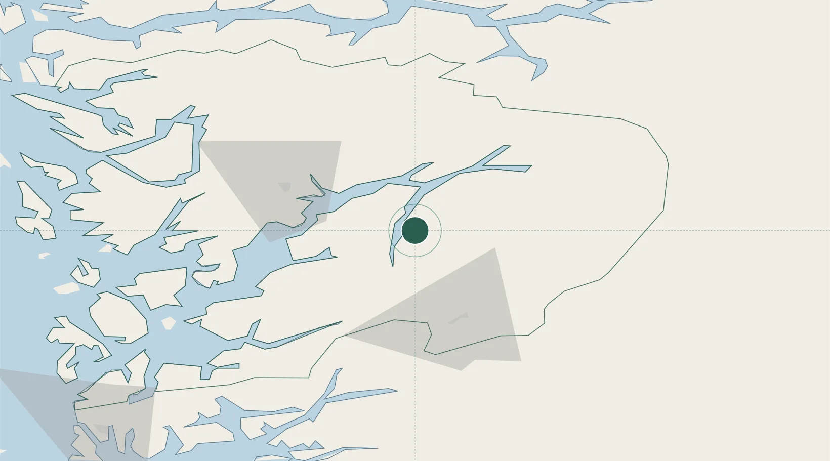
Location
Nearby Logistics Neighbours
Cities
- 1Ullensvang9 km
- 2Tyssedal14 km
- 3Kinsarvik16 km
- 4Odda19 km
- 5Utne20 km
Ports
- 1Odda16 km
- 2Norheimsund30 km
- 3Vaksdal56 km
- 4Husnes62 km
- 5Sauda68 km
Airports
- 1Bergen Airport, Flesland77 km
- 2Stord Airport, Sørstokken86 km
- 3Sogndal Airport, Haukåsen107 km
- 4Haugesund Airport, Karmøy126 km
- 5Førde Airport, Bringeland137 km
Trade Zones
- 1Gothenburg Boundless Customs Warehouse409 km
- 2Jönköping Free Zone508 km
- 3Freeport of Copenhagen- Nordhavn614 km
- 4MTS Malmö Transport and Spedition641 km
- 5Freeport of Kiel690 km
DatabookThe Record of Consolidated Knowledge
Norway beyond logistics?