Transport Functions
Port
Road
Hub Profile
Place type
Populated place
Region
Vestland
Population
715
Time zone
Europe/Oslo
Elevation
360 m
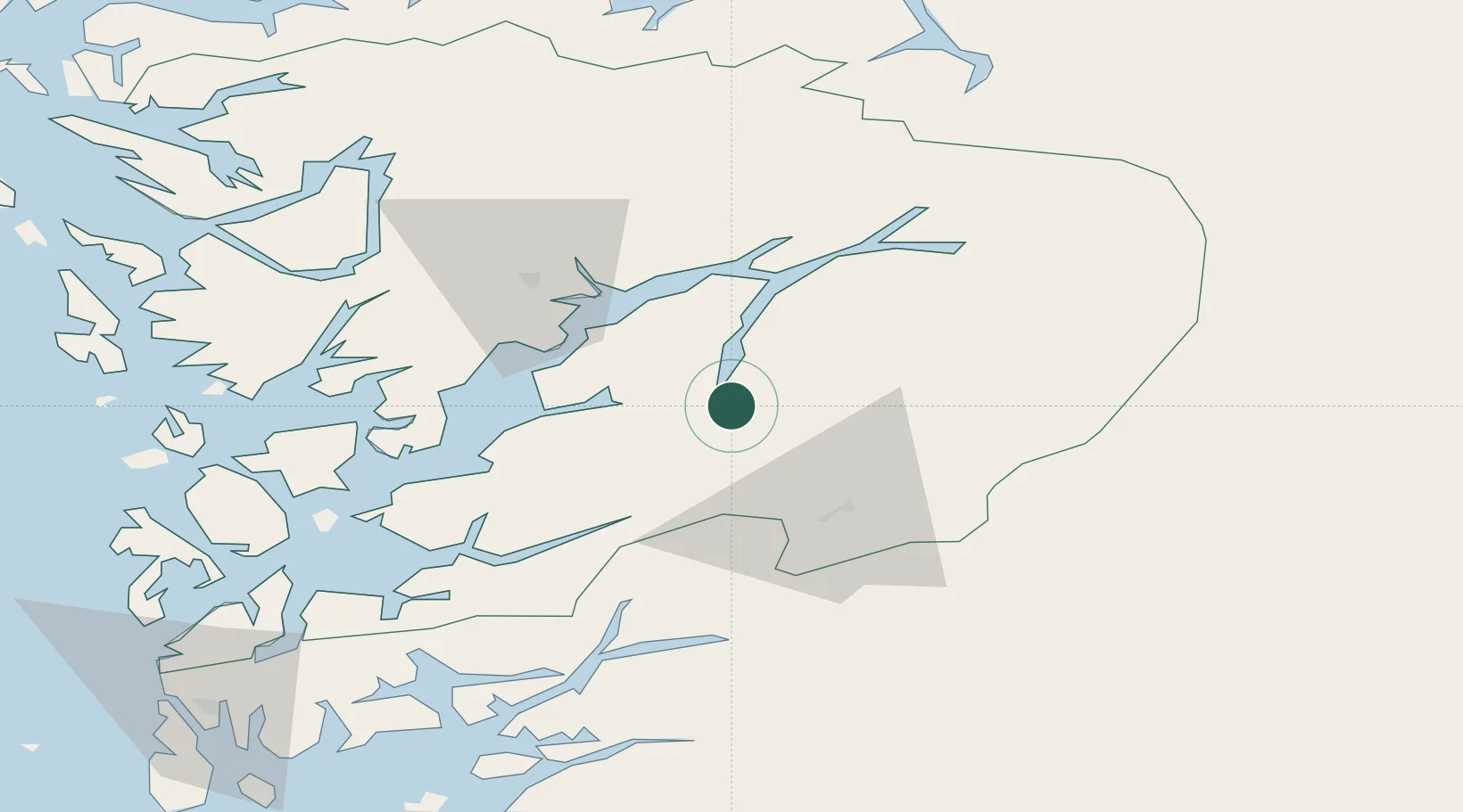
Location
Nearby Logistics Neighbours
Cities
- 1Odda6 km
- 2Hovland14 km
- 3Ullensvang23 km
- 4Jondal24 km
- 5Kinsarvik29 km
Ports
- 1Odda2 km
- 2Norheimsund35 km
- 3Husnes51 km
- 4Sauda55 km
- 5Vaksdal60 km
Airports
- 1Bergen Airport, Flesland76 km
- 2Stord Airport, Sørstokken76 km
- 3Haugesund Airport, Karmøy114 km
- 4Sogndal Airport, Haukåsen120 km
- 5Stavanger Airport, Sola147 km
Trade Zones
- 1Gothenburg Boundless Customs Warehouse404 km
- 2Jönköping Free Zone505 km
- 3Freeport of Copenhagen- Nordhavn606 km
- 4MTS Malmö Transport and Spedition633 km
- 5Freeport of Kiel679 km
DatabookThe Record of Consolidated Knowledge
Norway beyond logistics?