UN/LOCODE hub · Norway
NOHOK

Hommelvik

63.4000°, 10.7667°
5,418
Population
3
Transport functions

Transport Functions

Port
Rail
Road
Hommelvik is also a profiled seaport →
UN/LOCODE

Hub Profile

Place type
Provincial seat
GeoNames
Region
Trøndelag
GeoNames
Population
5,418
GeoNames
Time zone
Europe/Oslo
GeoNames
Elevation
12 m
GeoNames

Location

Location of NOHOK
Natural Earth 10m (public domain) · Trøndelag · NOHOK · 63.40, 10.77GoogleOSMYandex

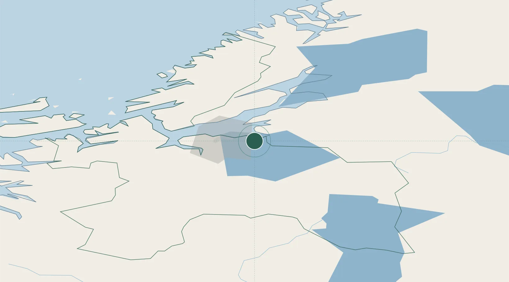
Nearby Logistics Neighbours

Cities
  1. 1Muruvika5 km
  2. 2Stjørdal9 km
  3. 3Ranheim11 km
  4. 4Tiller18 km
  5. 5Langstein18 km
Nearest neighbours — logibook spatial index (haversine) over the source coordinates
Ports
  1. 1Muruvik6 km
  2. 2Langstein18 km
  3. 3Trondheim19 km
  4. 4Fiborgtangen40 km
  5. 5Levanger47 km
Nearest neighbours — logibook spatial index (haversine) over the source coordinates
Airports
  1. 1Trondheim Airport, Værnes10 km
  2. 2Ørland Airport67 km
  3. 3Røros Airport96 km
  4. 4Namsos Airport126 km
  5. 5Kristiansund Airport, Kvernberget151 km
Nearest neighbours — logibook spatial index (haversine) over the source coordinates
Trade Zones
  1. 1Stockholm Free Zone596 km
  2. 2Gothenburg Boundless Customs Warehouse636 km
  3. 3Jönköping Free Zone652 km
  4. 4Freeport of Copenhagen- Nordhavn861 km
  5. 5MTS Malmö Transport and Spedition876 km
Nearest neighbours — logibook spatial index (haversine) over the source coordinates
DatabookThe Record of Consolidated Knowledge
Norway beyond logistics?
Browse databook

All Sources

LocationsUN/LOCODE
UN/LOCODE — free
LocationsGeoNames
CC BY 4.0
Portsthe NGA World Port Index
Public domain (US gov)
AirportsOurAirports
Public domain
Trade Zonesthe World Bank SEZ database
CC BY 4.0
Trade ZonesOpen Zone Map
CC BY
← Norway locations