UN/LOCODE hub · Norway
NOMRV

Muruvika

63.4333°, 10.8333°
3
Transport functions

Transport Functions

Port
Rail
Road
Muruvika is also a profiled seaport →
UN/LOCODE

Hub Profile

Region
16
GeoNames

Location

Location of NOMRV
Natural Earth 10m (public domain) · 16 · NOMRV · 63.43, 10.83GoogleOSMYandex

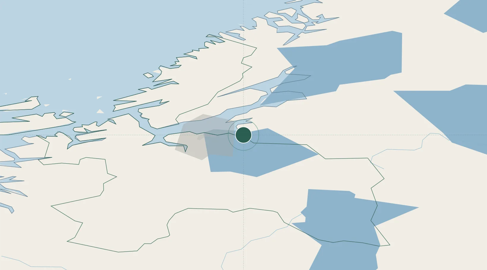
Nearby Logistics Neighbours

Cities
  1. 1Stjørdal5 km
  2. 2Hommelvik5 km
  3. 3Langstein13 km
  4. 4Ranheim14 km
  5. 5Kolvereid21 km
Nearest neighbours — logibook spatial index (haversine) over the source coordinates
Ports
  1. 1Hommelvik3 km
  2. 2Langstein13 km
  3. 3Trondheim22 km
  4. 4Fiborgtangen35 km
  5. 5Levanger42 km
Nearest neighbours — logibook spatial index (haversine) over the source coordinates
Airports
  1. 1Trondheim Airport, Værnes5 km
  2. 2Ørland Airport68 km
  3. 3Røros Airport99 km
  4. 4Namsos Airport121 km
  5. 5Kristiansund Airport, Kvernberget155 km
Nearest neighbours — logibook spatial index (haversine) over the source coordinates
Trade Zones
  1. 1Stockholm Free Zone596 km
  2. 2Gothenburg Boundless Customs Warehouse639 km
  3. 3Jönköping Free Zone655 km
  4. 4Freeport of Copenhagen- Nordhavn864 km
  5. 5MTS Malmö Transport and Spedition880 km
Nearest neighbours — logibook spatial index (haversine) over the source coordinates
DatabookThe Record of Consolidated Knowledge
Norway beyond logistics?
Browse databook

All Sources

LocationsUN/LOCODE
UN/LOCODE — free
Portsthe NGA World Port Index
Public domain (US gov)
AirportsOurAirports
Public domain
Trade Zonesthe World Bank SEZ database
CC BY 4.0
Trade ZonesOpen Zone Map
CC BY
← Norway locations