Transport Functions
Port
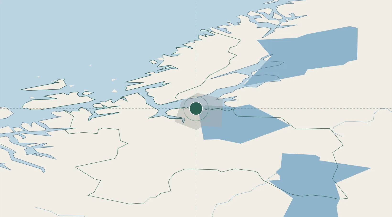
Hub Profile
Place type
Populated place
Region
Trøndelag
Population
1,467
Time zone
Europe/Oslo
Elevation
30 m
Location
Nearby Logistics Neighbours
Cities
- 1Trondheim1 km
- 2Ranheim7 km
- 3Tiller11 km
- 4Vanvikan-Leksvik14 km
- 5Hommelvik18 km
Ports
- 1Trondheim1 km
- 2Hommelvik19 km
- 3Muruvik21 km
- 4Langstein26 km
- 5Fiborgtangen47 km
Airports
- 1Trondheim Airport, Værnes25 km
- 2Ørland Airport49 km
- 3Røros Airport108 km
- 4Namsos Airport127 km
- 5Kristiansund Airport, Kvernberget135 km
Trade Zones
DatabookThe Record of Consolidated Knowledge
Norway beyond logistics?