UN/LOCODE hub · Norway
NOUTG

Utgårdskilen

59.0833°, 10.8667°
1
Transport functions

Transport Functions

Port
UN/LOCODE

Hub Profile

Region
01
GeoNames

Location

Location of NOUTG
Natural Earth 10m (public domain) · 01 · NOUTG · 59.08, 10.87GoogleOSMYandex

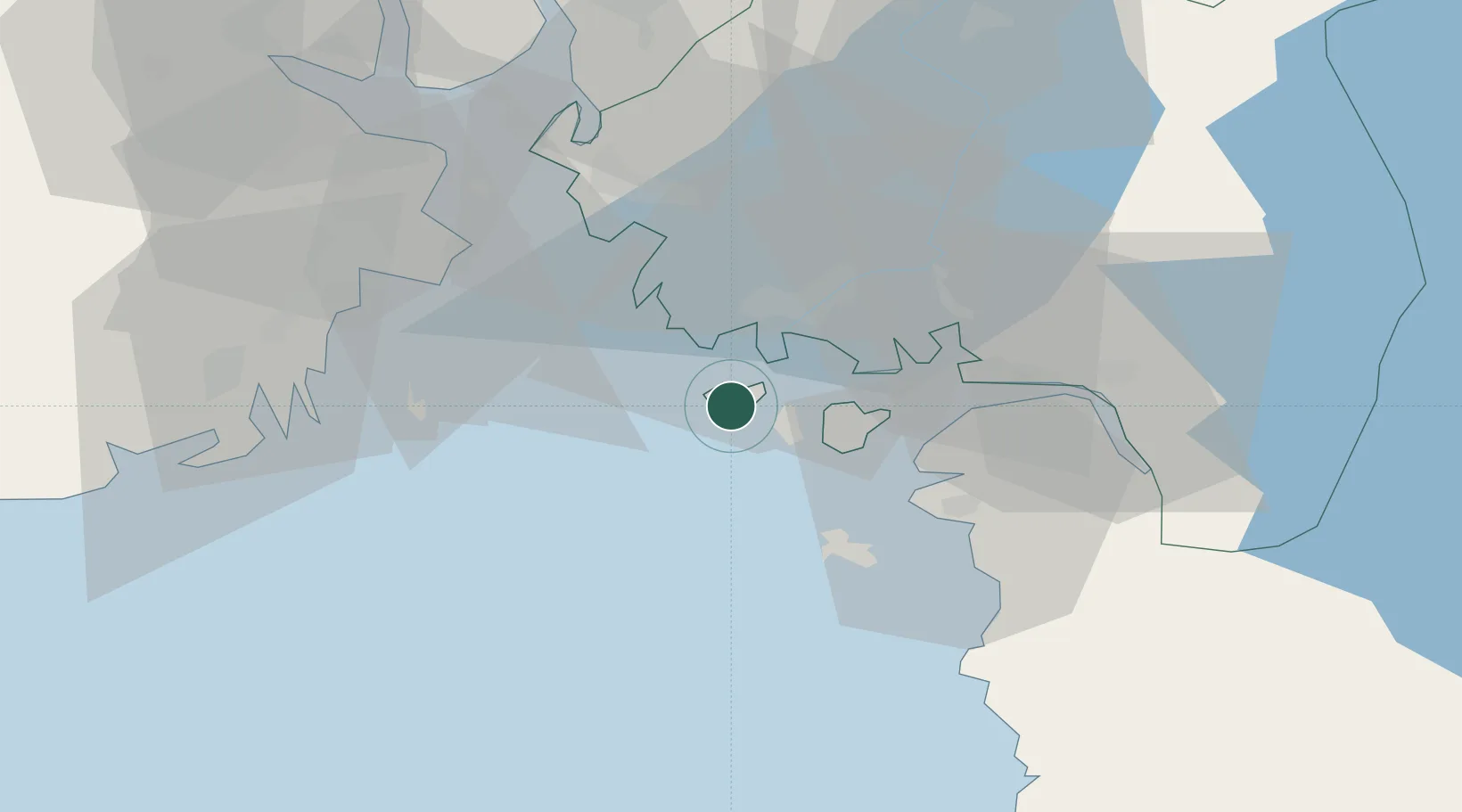
Nearby Logistics Neighbours

Cities
  1. 1Skjærhalden12 km
  2. 2Fredrikstad12 km
  3. 3Kalvik18 km
  4. 4Greåker23 km
  5. 5Hvasser24 km
Nearest neighbours — logibook spatial index (haversine) over the source coordinates
Ports
  1. 1Fredrikstad12 km
  2. 2Stromstad24 km
  3. 3Sarpsborg24 km
  4. 4Valloy29 km
  5. 5Halden30 km
Nearest neighbours — logibook spatial index (haversine) over the source coordinates
Airports
  1. 1Moss Airport, Rygge33 km
  2. 2Sandefjord Airport, Torp37 km
  3. 3Skien Airport75 km
  4. 4Notodden Airport108 km
  5. 5Trollhättan-Vänersborg Airport121 km
Nearest neighbours — logibook spatial index (haversine) over the source coordinates
Trade Zones
  1. 1Gothenburg Boundless Customs Warehouse163 km
  2. 2Jönköping Free Zone238 km
  3. 3Freeport of Copenhagen- Nordhavn389 km
  4. 4MTS Malmö Transport and Spedition409 km
  5. 5Stockholm Free Zone413 km
Nearest neighbours — logibook spatial index (haversine) over the source coordinates
DatabookThe Record of Consolidated Knowledge
Norway beyond logistics?
Browse databook

All Sources

LocationsUN/LOCODE
UN/LOCODE — free
Portsthe NGA World Port Index
Public domain (US gov)
AirportsOurAirports
Public domain
Trade Zonesthe World Bank SEZ database
CC BY 4.0
Trade ZonesOpen Zone Map
CC BY
← Norway locations