UN/LOCODE hub · Norway
NOSKH

Skjærhalden

59.0167°, 11.0333°
1
Transport functions

Transport Functions

Port
UN/LOCODE

Hub Profile

Region
01
GeoNames

Location

Location of NOSKH
Natural Earth 10m (public domain) · 01 · NOSKH · 59.02, 11.03GoogleOSMYandex

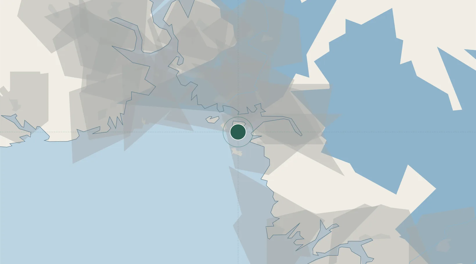
Nearby Logistics Neighbours

Cities
  1. 1Kalvik10 km
  2. 2Utgårdskilen12 km
  3. 3Strömstad13 km
  4. 4Fredrikstad19 km
  5. 5Halden21 km
Nearest neighbours — logibook spatial index (haversine) over the source coordinates
Ports
  1. 1Stromstad12 km
  2. 2Fredrikstad19 km
  3. 3Halden23 km
  4. 4Sarpsborg28 km
  5. 5Grebbestad40 km
Nearest neighbours — logibook spatial index (haversine) over the source coordinates
Airports
  1. 1Moss Airport, Rygge43 km
  2. 2Sandefjord Airport, Torp48 km
  3. 3Skien Airport86 km
  4. 4Trollhättan-Vänersborg Airport109 km
  5. 5Såtenäs Air Base117 km
Nearest neighbours — logibook spatial index (haversine) over the source coordinates
Trade Zones
  1. 1Gothenburg Boundless Customs Warehouse153 km
  2. 2Jönköping Free Zone226 km
  3. 3Freeport of Copenhagen- Nordhavn379 km
  4. 4MTS Malmö Transport and Spedition399 km
  5. 5Stockholm Free Zone405 km
Nearest neighbours — logibook spatial index (haversine) over the source coordinates
DatabookThe Record of Consolidated Knowledge
Norway beyond logistics?
Browse databook

All Sources

LocationsUN/LOCODE
UN/LOCODE — free
Portsthe NGA World Port Index
Public domain (US gov)
AirportsOurAirports
Public domain
Trade Zonesthe World Bank SEZ database
CC BY 4.0
Trade ZonesOpen Zone Map
CC BY
← Norway locations