Transport Functions
Port
Hub Profile
Place type
Populated place
Region
Västra Götaland
Time zone
Europe/Stockholm
Elevation
42 m
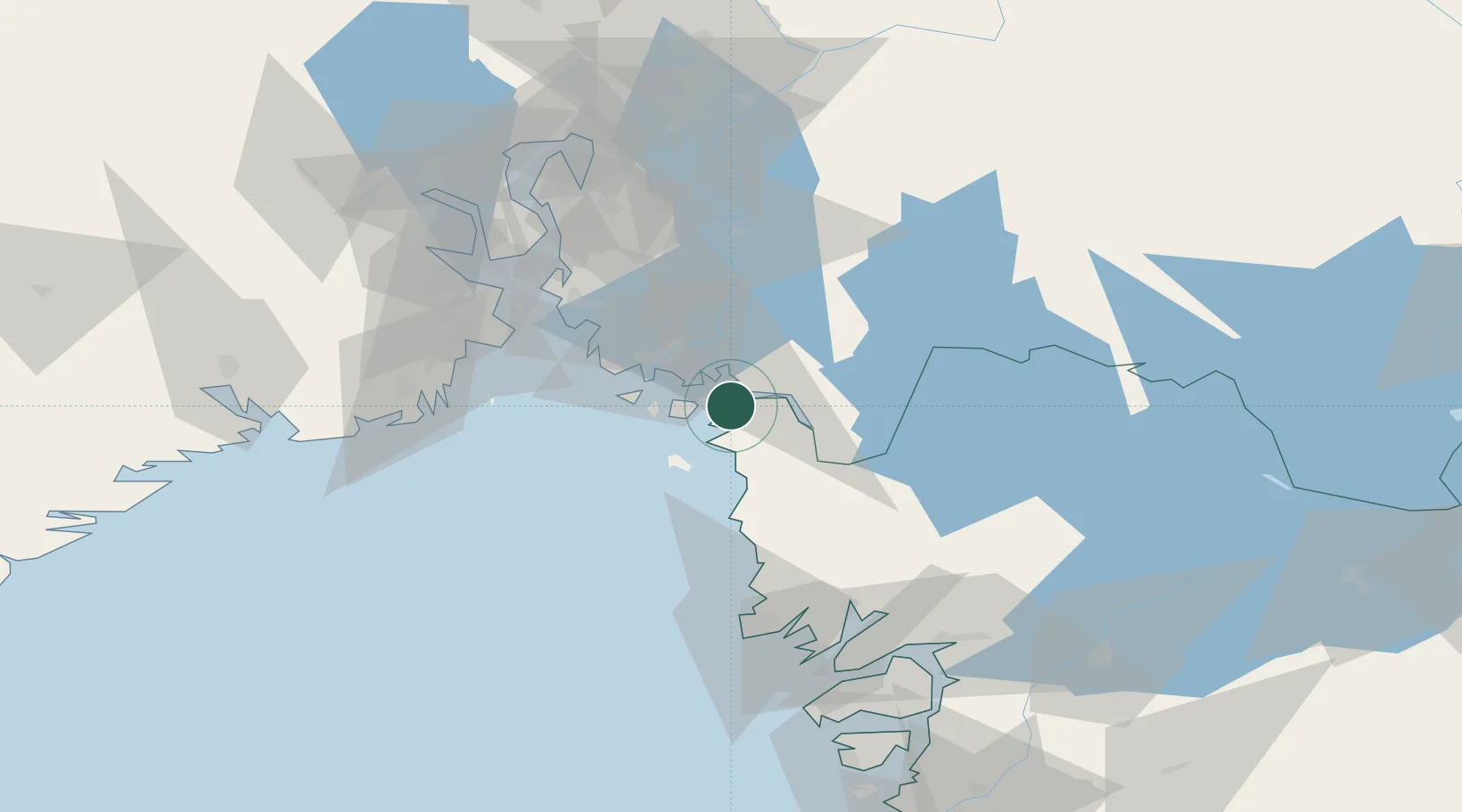
Location
Nearby Logistics Neighbours
Cities
- 1Skjærhalden10 km
- 2Halden11 km
- 3Strömstad15 km
- 4Utgårdskilen18 km
- 5Fredrikstad18 km
Ports
- 1Halden13 km
- 2Stromstad15 km
- 3Fredrikstad18 km
- 4Sarpsborg23 km
- 5Grebbestad44 km
Airports
- 1Moss Airport, Rygge41 km
- 2Sandefjord Airport, Torp54 km
- 3Skien Airport93 km
- 4Trollhättan-Vänersborg Airport107 km
- 5Såtenäs Air Base113 km
Trade Zones
DatabookThe Record of Consolidated Knowledge
Sweden beyond logistics?