Seaport · Mauritius
Port LouisMUPLU
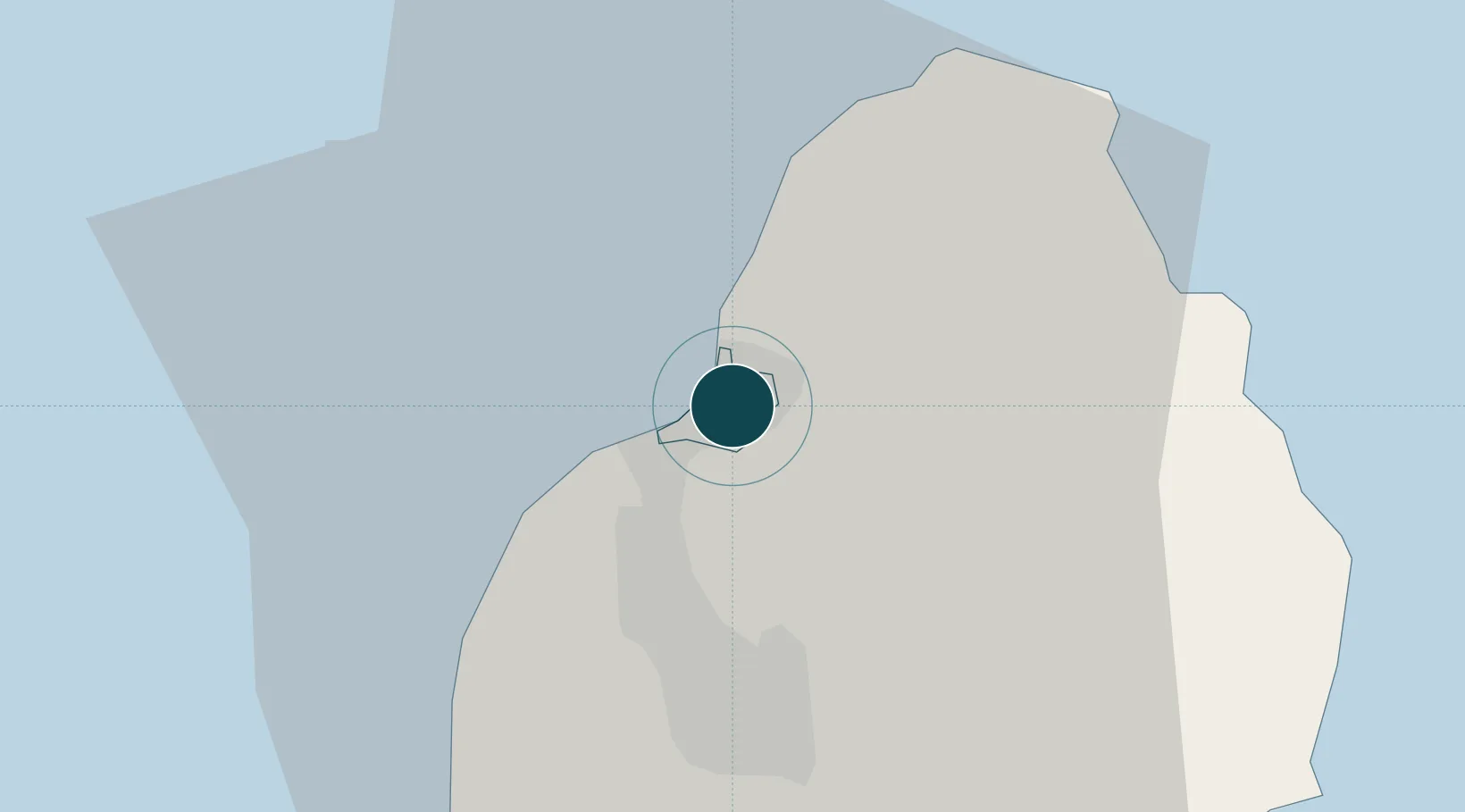
-20.1500°, 57.5000°
11.0 m
Channel depth
2
Container terminals
150.2
Port liner connectivity
Channel & Berth Profile
Pilotage, Tugs & Services
Pilotage compulsoryYES
Pilotage availableYES
Tug assistanceYES
Salvage tugsYES
Potable waterYES
Diesel bunkersYES
MedicalYES
Garbage disposalYES
Facilities & Capabilities
ContainerYES
Ro-Ro—
Liquid bulkYES
Dry bulkYES
Oil terminal—
Break bulkYES
Dry dockNO
RepairsNO
BunkeringYES
Rail link—
Dangerous cargo—
ISPS securityYES
Harbour Specifications
Harbour size
Small
Harbour type
Coastal (Breakwater)
Shelter
Good
Water body
Indian Ocean
Tidal range
0.6 m
Pilotage
Yes
Liner Connectivity
150.2
PLSCI
Port Liner Shipping Connectivity Index for Port Louis, as published by UNCTAD for the latest available quarter. Higher values indicate stronger scheduled liner-shipping integration.
Shown relative to the highest per-port PLSCI in the dataset (1,657.9).
Location
Container Terminals · 2
MAURITIUS CONTAINER TERMINAL
MCT CARGO HANDLING CORPORATION LTD. (CHCL)
SSR MULTI PURPOSE TERMINAL
SSR CARGO HANDLING CORPORATION LTD. (CHCL)
Nearby Logistics Neighbours
Ports
- 1Saint-Denis228 km
- 2Saint-Pierre250 km
- 3Port Mathurin621 km
- 4Toamasina877 km
- 5Mananjary961 km
Cities
- 1Albion12 km
- 2Fond du Sac15 km
- 3Phoenix15 km
- 4Tamarin23 km
- 5Ebene31 km
Airports
Trade Zones
DatabookThe Record of Consolidated Knowledge
Mauritius beyond logistics?