Transport Functions
Multimodal
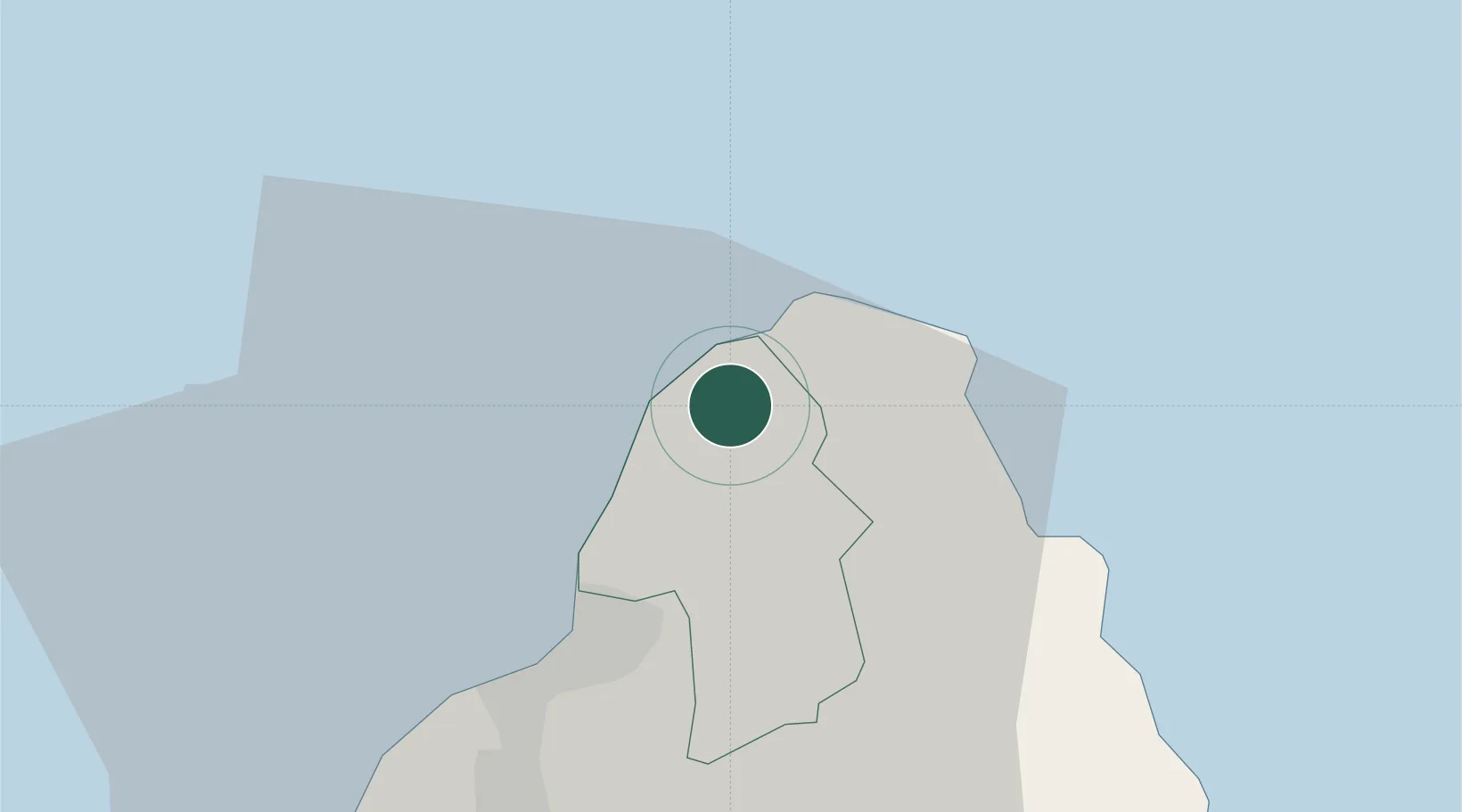
Hub Profile
Place type
Populated place
Region
Pamplemousses
Population
5,796
Time zone
Indian/Mauritius
Elevation
46 m
Location
Nearby Logistics Neighbours
Cities
- 1Port Louis14 km
- 2Albion25 km
- 3Phoenix29 km
- 4Ebene32 km
- 5Tamarin38 km
Ports
- 1Port Louis15 km
- 2Saint-Denis239 km
- 3Saint-Pierre263 km
- 4Port Mathurin613 km
- 5Toamasina881 km
Airports
Trade Zones
DatabookThe Record of Consolidated Knowledge
Mauritius beyond logistics?