Channel & Berth Profile
Pilotage, Tugs & Services
Pilotage availableNO
Pilotage advisableNO
Tug assistanceNO
Shore powerYES
Potable waterNO
Diesel bunkersNO
MedicalYES
Facilities & Capabilities
Container—
Ro-Ro—
Liquid bulkYES
Dry bulk—
Oil terminal—
Break bulkYES
Dry dock—
RepairsNO
BunkeringNO
Rail link—
Dangerous cargo—
ISPS security—
Harbour Specifications
Harbour size
Very Small
Harbour type
Open Roadstead
Shelter
Fair
Water body
Indian Ocean
Tidal range
1 m
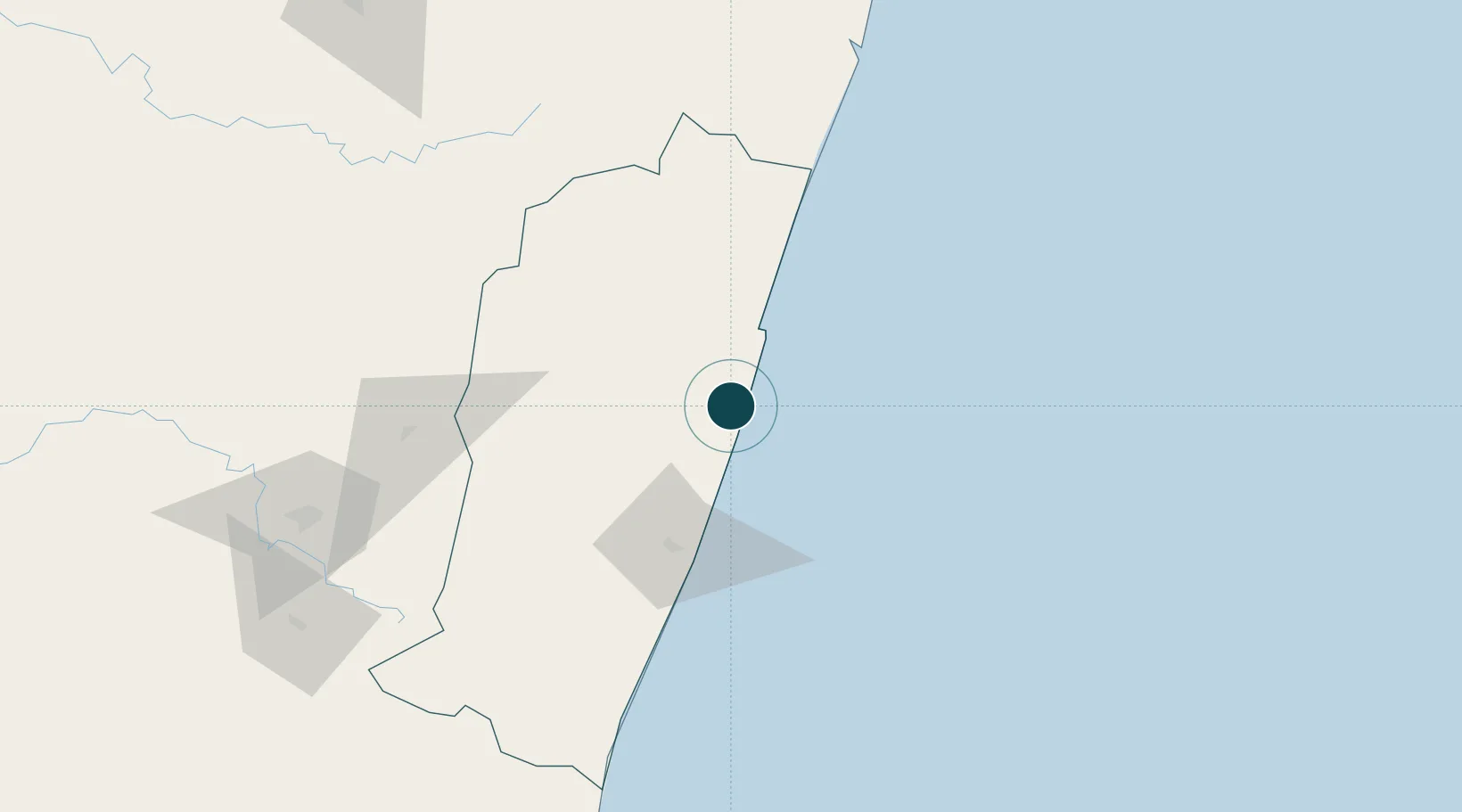
Location
Nearby Logistics Neighbours
Cities
- 1Tamatave (Toamasina)363 km
- 2Ehoala447 km
- 3Amboasary Sud466 km
- 4Tulear (Toliara)534 km
- 5Saint-Paul720 km
Airports
- 1Mananjary Airport6 km
- 2Manakara Airport102 km
- 3Fianarantsoa Airport128 km
- 4Ivato International Airport287 km
- 5Miandrivazo Airport354 km
Trade Zones
- 1Moramanga Textile City Zone258 km
- 2Tsarakofafa Special Economic Zone361 km
- 3Toamasina Autonomous Port363 km
- 4Ehoala Park447 km
- 5Betsinjaka Special Economic Zone532 km
DatabookThe Record of Consolidated Knowledge
Madagascar beyond logistics?