Transport Functions
Multimodal
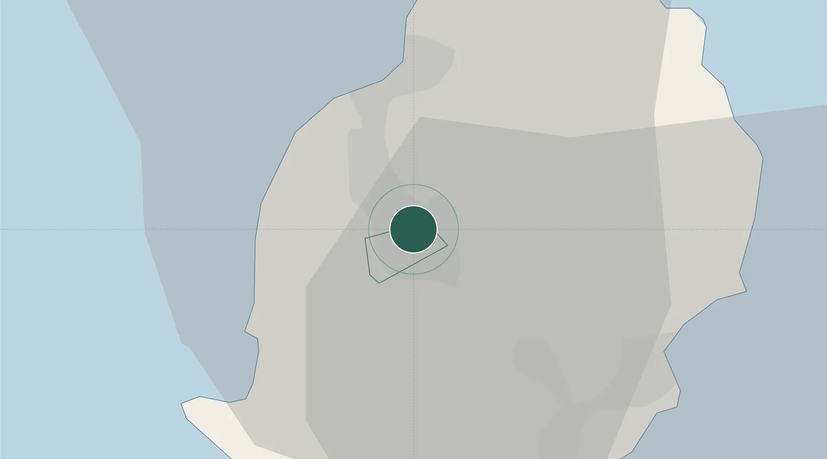
Hub Profile
Place type
Populated place
Region
Plaines Wilhems
Time zone
Indian/Mauritius
Elevation
415 m
Location
Nearby Logistics Neighbours
Cities
- 1Albion14 km
- 2Tamarin14 km
- 3Port Louis15 km
- 4Fond du Sac29 km
- 5Ebene30 km
Ports
- 1Port Louis15 km
- 2Saint-Denis223 km
- 3Saint-Pierre242 km
- 4Port Mathurin622 km
- 5Toamasina881 km
Airports
Trade Zones
DatabookThe Record of Consolidated Knowledge
Mauritius beyond logistics?