Transport Functions
Port
Multimodal
Hub Profile
Place type
Regional capital
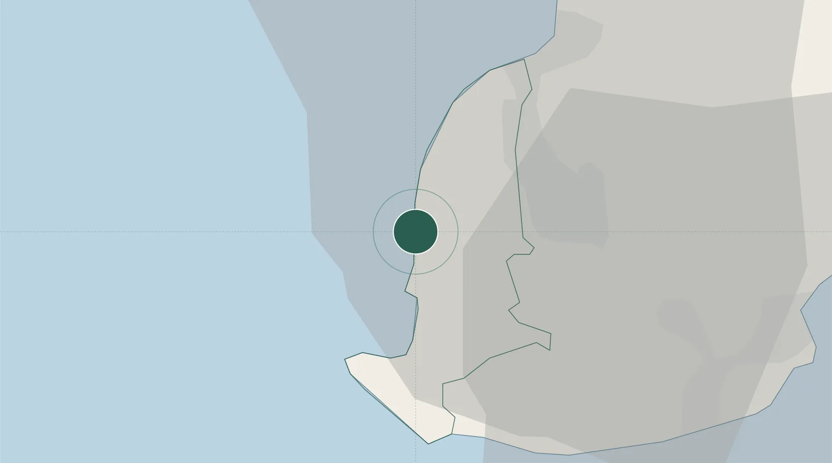
Region
Black River
Population
4,371
Time zone
Indian/Mauritius
Location
Nearby Logistics Neighbours
Cities
- 1Albion13 km
- 2Phoenix14 km
- 3Port Louis24 km
- 4Fond du Sac38 km
- 5Ebene44 km
Ports
- 1Port Louis23 km
- 2Saint-Denis209 km
- 3Saint-Pierre229 km
- 4Port Mathurin636 km
- 5Toamasina868 km
Airports
Trade Zones
DatabookThe Record of Consolidated Knowledge
Mauritius beyond logistics?