Medium airport · Mauritius

Sir Charles Gaetan Duval AirportFIMR
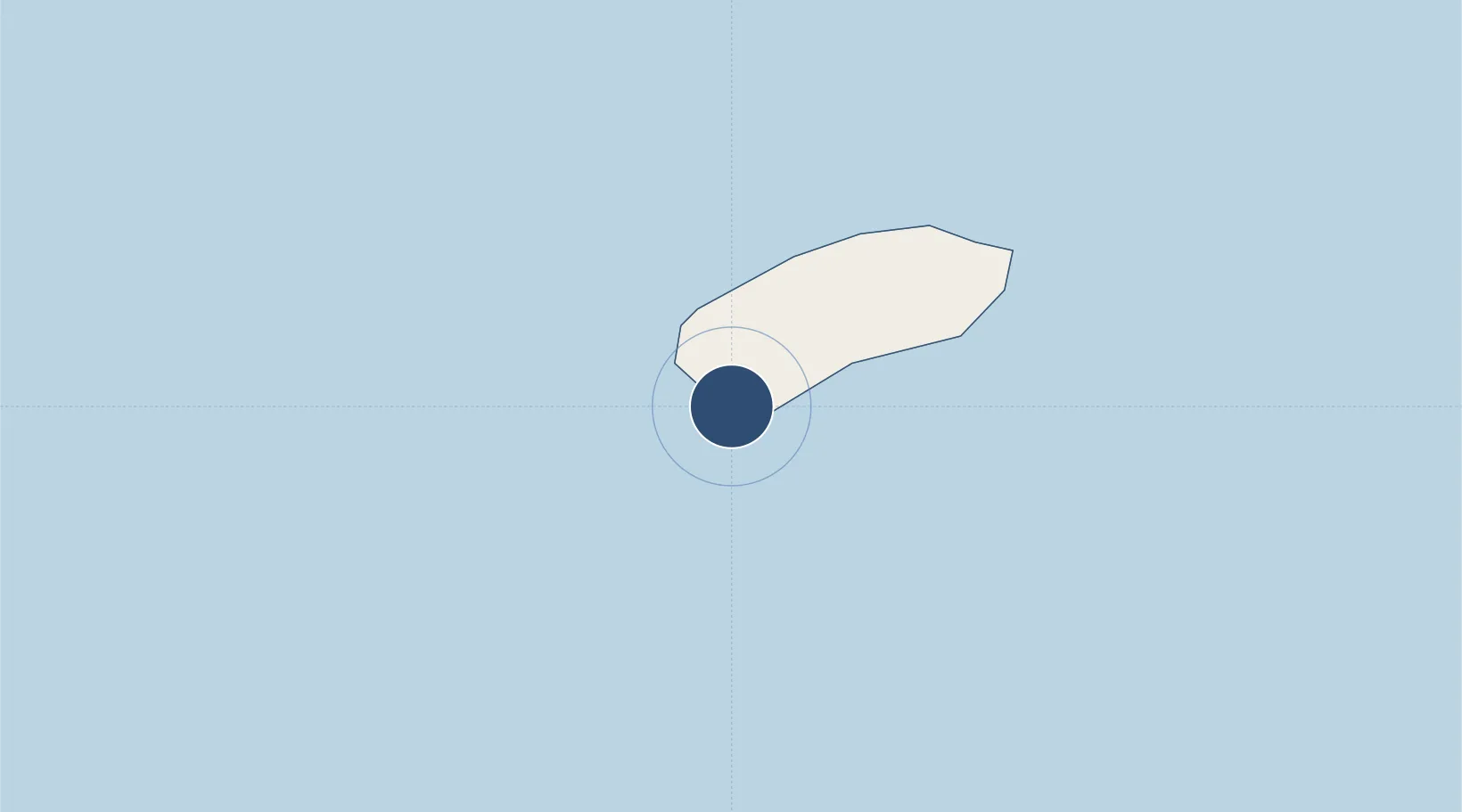
-19.7567°, 63.3593°
4,223 ft
Longest runway
1
Runways
95 ft
Elevation

Runway & Layout

Sir Charles Gaetan Duval Airport runway & taxiway layout
Runway & taxiway layout — OpenStreetMap (ODbL) / OurAirports

Radio Frequencies

TWR
123.3 MHz
TWR/UC
122.1 MHz
OurAirports

Navaids

RS NDB Rodrigues 302 kHz
OurAirports

Runways · 1

RunwayDimensions SurfaceTrue headingLit
12/30 4,223 × 98ft Asphalt 106°
OurAirports

Airport Specifications

IATA code
RRG
OurAirports
ICAO code
FIMR
OurAirports
Airport class
Medium airport
OurAirports
Scheduled service
Yes
OurAirports
Runway surface
Asphalt
OurAirports
Served city
Port Mathurin
OurAirports

Location

Location of FIMR
Natural Earth 10m (public domain) · Rodrigues · FIMR · -19.76, 63.36GoogleOSMYandex

Nearby Logistics Neighbours

Airports
  1. 1Sir Seewoosagur Ramgoolam International Airport597 km
  2. 2Roland Garros Airport827 km
  3. 3Saint-Pierre Pierrefonds Airport844 km
  4. 4IAF Agalega1270 km
  5. 5Sainte Marie Airport1459 km
Nearest neighbours — logibook spatial index (haversine) over the source coordinates
Cities
  1. 1Port Mathurin11 km
  2. 2Ebene585 km
  3. 3Fond du Sac606 km
  4. 4Port Louis614 km
  5. 5Phoenix615 km
Nearest neighbours — logibook spatial index (haversine) over the source coordinates
Ports
  1. 1Port Mathurin10 km
  2. 2Port Louis614 km
  3. 3Saint-Denis834 km
  4. 4Saint-Pierre841 km
  5. 5Toamasina1476 km
Nearest neighbours — logibook spatial index (haversine) over the source coordinates
Trade Zones
  1. 1Mon Tresor Free Zone599 km
  2. 2Mauritius JinFei Economic and Trade Cooperation Zone611 km
  3. 3Riche Terre Industrial Zone612 km
  4. 4The Mauritius Free Port614 km
  5. 5Free Zone Mauritius618 km
Nearest neighbours — logibook spatial index (haversine) over the source coordinates
DatabookThe Record of Consolidated Knowledge
Mauritius beyond logistics?
Browse databook

All Sources

AirportsOurAirports
Public domain
Portsthe NGA World Port Index
Public domain (US gov)
LocationsUN/LOCODE
UN/LOCODE — free
Trade Zonesthe World Bank SEZ database
CC BY 4.0
Trade ZonesOpen Zone Map
CC BY
InfrastructureOpenStreetMap
ODbL 1.0
← Mauritius airports