UN/LOCODE hub · Mauritius
MUPLU
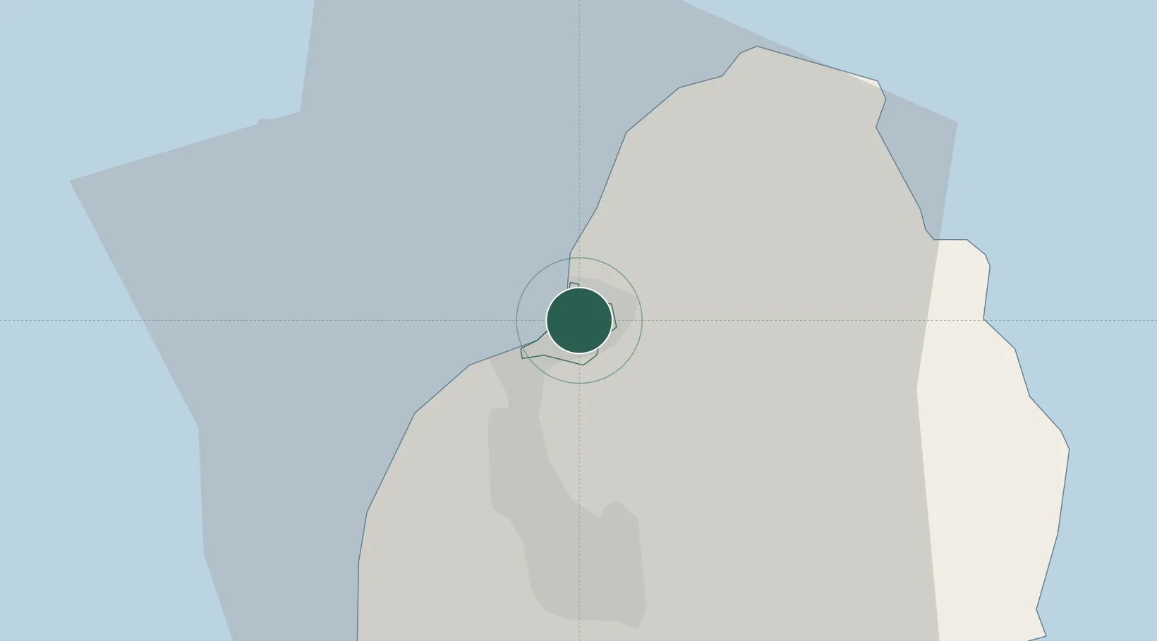
Port Louis
-20.1450°, 57.4995°
155,226
Population
2
Transport functions
2
Container terminals
Transport Functions
Port
Airport
Hub Profile
Place type
National capital
Region
Port Louis
Population
155,226
Time zone
Indian/Mauritius
Elevation
3 m
Logistics facilities
9
Container terminals
2
Location
Nearby Logistics Neighbours
Cities
- 1Albion12 km
- 2Fond du Sac14 km
- 3Phoenix15 km
- 4Tamarin24 km
- 5Ebene31 km
Ports
- 1Saint-Denis228 km
- 2Saint-Pierre250 km
- 3Port Mathurin621 km
- 4Toamasina877 km
- 5Mananjary961 km
Airports
Trade Zones
DatabookThe Record of Consolidated Knowledge
Mauritius beyond logistics?