Channel & Berth Profile
Pilotage, Tugs & Services
Pilotage compulsoryYES
Pilotage availableYES
Pilotage advisableYES
Tug assistanceYES
Salvage tugsYES
Shore powerYES
Potable waterYES
Diesel bunkersYES
MedicalYES
Garbage disposalYES
Facilities & Capabilities
ContainerYES
Ro-RoYES
Liquid bulk—
Dry bulk—
Oil terminal—
Break bulkYES
Dry dock—
RepairsNO
BunkeringYES
Rail linkYES
Dangerous cargo—
ISPS security—
Harbour Specifications
Harbour size
Small
Harbour type
Coastal (Breakwater)
Shelter
Good
Water body
Indian Ocean
Tidal range
1 m
Pilotage
Yes
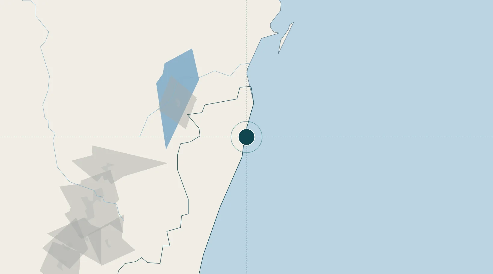
Location
Nearby Logistics Neighbours
Ports
- 1Maroantsetra305 km
- 2Mananjary361 km
- 3Mahajanga429 km
- 4Manakara462 km
- 5Maintirano571 km
Cities
- 1Tamatave (Toamasina)2 km
- 2Nosy-Be552 km
- 3Antsiranana656 km
- 4Saint-Paul688 km
- 5Le Port690 km
Airports
- 1Toamasina Ambalamanasy Airport6 km
- 2Sainte Marie Airport127 km
- 3Ivato International Airport216 km
- 4Mananara Nord Airport226 km
- 5Tsaratanana Airport247 km
Trade Zones
DatabookThe Record of Consolidated Knowledge
Madagascar beyond logistics?