Transport Functions
Multimodal
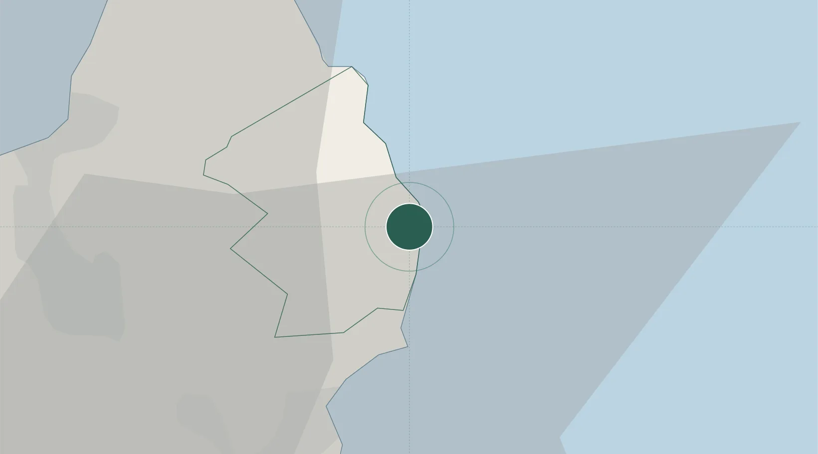
Hub Profile
Place type
Populated place
Region
Plaines Wilhems
Population
1,001
Time zone
Indian/Mauritius
Elevation
312 m
Location
Nearby Logistics Neighbours
Cities
- 1Phoenix30 km
- 2Port Louis31 km
- 3Fond du Sac32 km
- 4Albion40 km
- 5Tamarin44 km
Ports
- 1Port Louis31 km
- 2Saint-Denis253 km
- 3Saint-Pierre271 km
- 4Port Mathurin592 km
- 5Toamasina908 km
Airports
Trade Zones
DatabookThe Record of Consolidated Knowledge
Mauritius beyond logistics?