Large airport · Mauritius
Sir Seewoosagur Ramgoolam International AirportFIMP
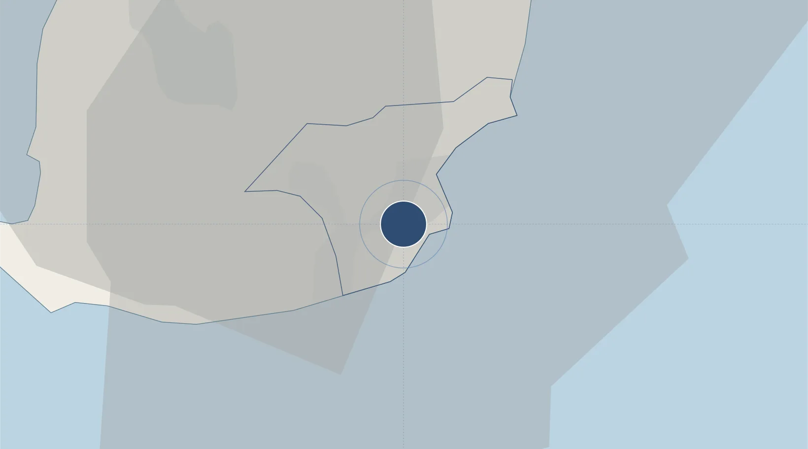
-20.4302°, 57.6836°
11,056 ft
Longest runway
1
Runways
186 ft
Elevation
Runway & Layout

Radio Frequencies
ATIS
126.2 MHz
TWR
118.1 MHz
APP
119.1 MHz
A/G
347.6 MHz
INFO
Navaids
FF NDB Flic -eE --lFc 258 kHz
GBY VOR-DME Grand Bay 114.80 MHz
MS NDB Plaisance 343 kHz
PLS VOR-DME Plaisance 113.70 MHz
Runways · 1
| Runway | Dimensions | Surface | True heading | Lit |
|---|---|---|---|---|
| 14/32 | 11,056 × 148ft | Asphalt | 117° | ✓ |
Airport Specifications
IATA code
MRU
ICAO code
FIMP
Airport class
Large airport
Scheduled service
Yes
Runway surface
Asphalt
Served city
Plaine Magnien
Location
Nearby Logistics Neighbours
Airports
- 1Roland Garros Airport231 km
- 2Saint-Pierre Pierrefonds Airport255 km
- 3Sir Charles Gaetan Duval Airport597 km
- 4Sainte Marie Airport907 km
- 5Toamasina Ambalamanasy Airport908 km
Cities
- 1Ebene24 km
- 2Phoenix25 km
- 3Tamarin35 km
- 4Port Louis37 km
- 5Albion39 km
Ports
- 1Port Louis37 km
- 2Saint-Denis237 km
- 3Saint-Pierre252 km
- 4Port Mathurin605 km
- 5Toamasina903 km
Trade Zones
DatabookThe Record of Consolidated Knowledge
Mauritius beyond logistics?