Transport Functions
Port
Hub Profile
Place type
Populated place
Region
Black River
Population
3,254
Time zone
Indian/Mauritius
Elevation
10 m
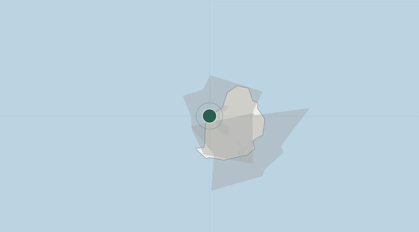
Location
Nearby Logistics Neighbours
Cities
- 1Port Louis12 km
- 2Tamarin13 km
- 3Phoenix14 km
- 4Fond du Sac25 km
- 5Ebene40 km
Ports
- 1Port Louis12 km
- 2Saint-Denis216 km
- 3Saint-Pierre238 km
- 4Port Mathurin632 km
- 5Toamasina868 km
Airports
Trade Zones
DatabookThe Record of Consolidated Knowledge
Mauritius beyond logistics?