Medium airport · Madagascar

Maroantsetra AirportFMNR
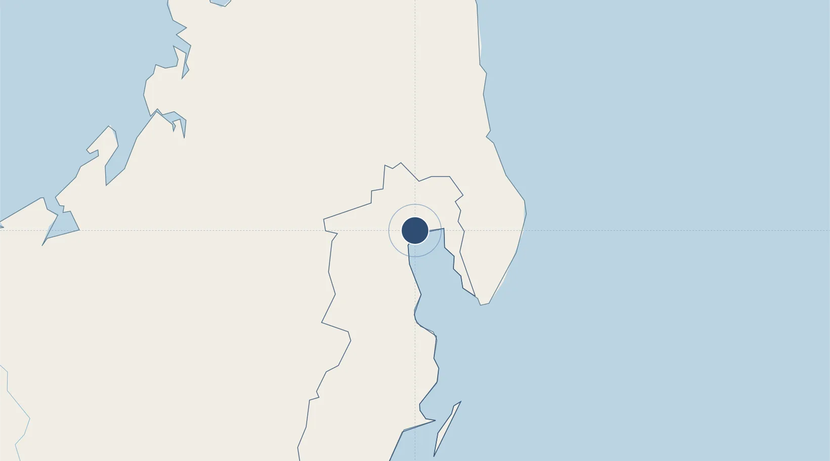
-15.4377°, 49.6891°
4,265 ft
Longest runway
1
Runways
9 ft
Elevation

Runway & Layout

Maroantsetra Airport runway & taxiway layout
Runway & taxiway layout — OpenStreetMap (ODbL) / OurAirports

Radio Frequencies

A/G
548.4 MHz
A/G VOICE RDO
AFIS
119.8 MHz
OurAirports

Navaids

VSL NDB Maroantsetra 402 kHz
OurAirports

Runways · 1

RunwayDimensions SurfaceTrue headingLit
14/32 4,265 × 98ft Asphalt 128°
OurAirports

Airport Specifications

IATA code
WMN
OurAirports
ICAO code
FMNR
OurAirports
Airport class
Medium airport
OurAirports
Scheduled service
Yes
OurAirports
Runway surface
Asphalt
OurAirports
Served city
Maroantsetra
OurAirports

Location

Location of FMNR
Natural Earth 10m (public domain) · Analanjirofo · FMNR · -15.44, 49.69GoogleOSMYandex

Nearby Logistics Neighbours

Airports
  1. 1Mananara Nord Airport81 km
  2. 2Antsirabe Airport83 km
  3. 3Andapa Airport88 km
  4. 4Sambava Airport139 km
  5. 5Sainte Marie Airport185 km
Nearest neighbours — logibook spatial index (haversine) over the source coordinates
Cities
  1. 1Nosy-Be281 km
  2. 2Tamatave (Toamasina)303 km
  3. 3Antsiranana355 km
  4. 4Dzaoudzi-Pamandzi Apt558 km
  5. 5Chirongui563 km
Nearest neighbours — logibook spatial index (haversine) over the source coordinates
Ports
  1. 1Maroantsetra14 km
  2. 2Toamasina305 km
  3. 3Antsiranana355 km
  4. 4Mahajanga364 km
  5. 5Dzaoudzi562 km
Nearest neighbours — logibook spatial index (haversine) over the source coordinates
Trade Zones
  1. 1Toamasina Autonomous Port304 km
  2. 2Tsarakofafa Special Economic Zone304 km
  3. 3Diego Suarez Andrakaka Multi-Sectoral Zone355 km
  4. 4Moramanga Textile City Zone420 km
  5. 5Crusse & Jamali Special Economic Zone954 km
Nearest neighbours — logibook spatial index (haversine) over the source coordinates
DatabookThe Record of Consolidated Knowledge
Madagascar beyond logistics?
Browse databook

All Sources

AirportsOurAirports
Public domain
Portsthe NGA World Port Index
Public domain (US gov)
LocationsUN/LOCODE
UN/LOCODE — free
Trade Zonesthe World Bank SEZ database
CC BY 4.0
Trade ZonesOpen Zone Map
CC BY
InfrastructureOpenStreetMap
ODbL 1.0
← Madagascar airports