Medium airport · Madagascar

Antsirabe AirportFMNH
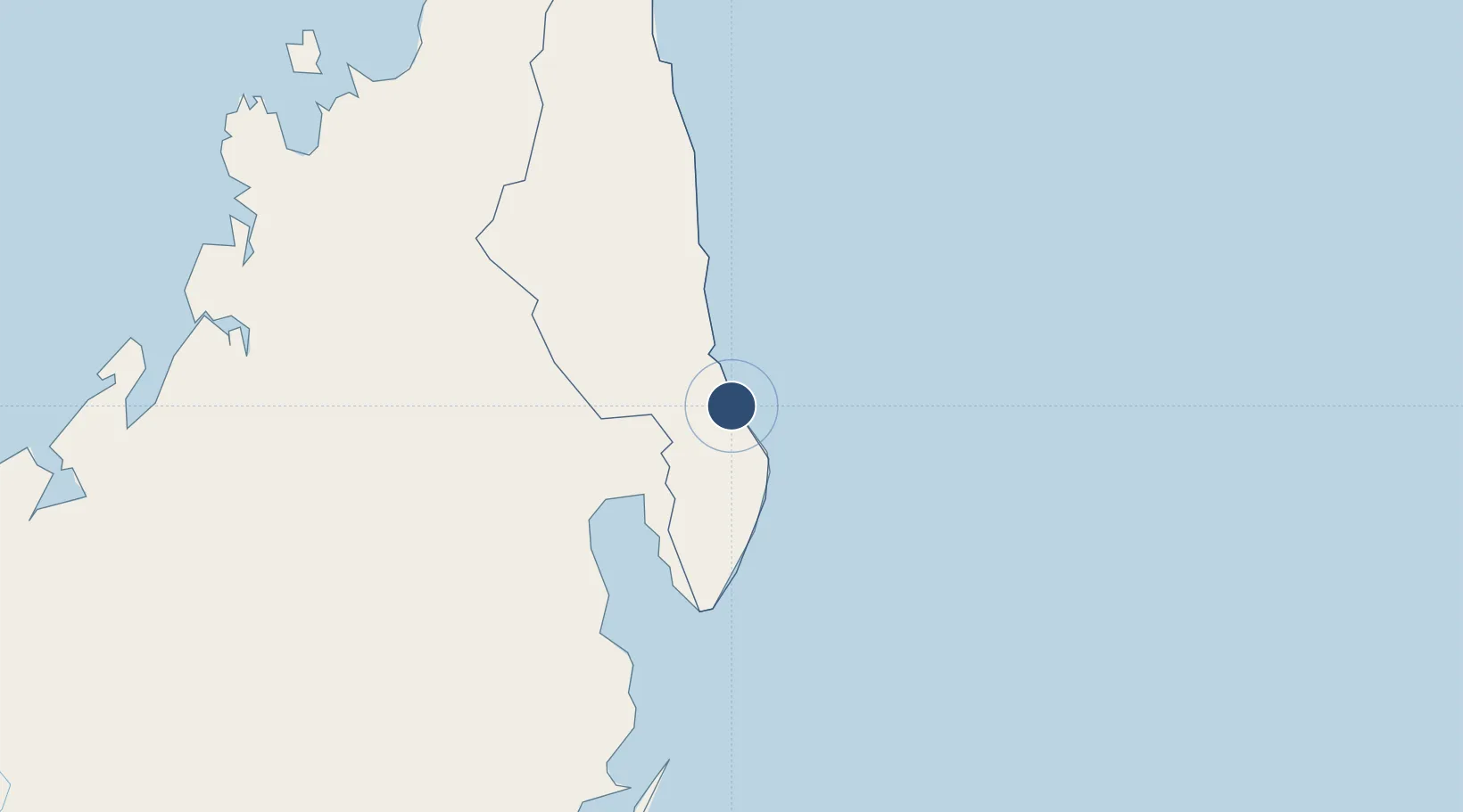
-14.9994°, 50.3202°
3,914 ft
Longest runway
1
Runways
20 ft
Elevation

Runway & Layout

Antsirabe Airport runway & taxiway layout
Runway & taxiway layout — OpenStreetMap (ODbL) / OurAirports

Radio Frequencies

A/G
548.4 MHz
A/G VOICE RDO
AFIS
118.3 MHz
AFIS INFO
OurAirports

Navaids

AH NDB Antalaha 321 kHz
OurAirports

Runways · 1

RunwayDimensions SurfaceTrue headingLit
18/36 3,914 × 89ft Asphalt 163°
OurAirports

Airport Specifications

IATA code
ANM
OurAirports
ICAO code
FMNH
OurAirports
Airport class
Medium airport
OurAirports
Scheduled service
No
OurAirports
Runway surface
Asphalt
OurAirports
Served city
Antsirabe
OurAirports

Location

Location of FMNH
Natural Earth 10m (public domain) · Sava · FMNH · -15.00, 50.32GoogleOSMYandex

Nearby Logistics Neighbours

Airports
  1. 1Sambava Airport82 km
  2. 2Maroantsetra Airport83 km
  3. 3Andapa Airport85 km
  4. 4Mananara Nord Airport142 km
  5. 5Vohemar Airport184 km
Nearest neighbours — logibook spatial index (haversine) over the source coordinates
Cities
  1. 1Nosy-Be290 km
  2. 2Antsiranana323 km
  3. 3Tamatave (Toamasina)364 km
  4. 4Dzaoudzi-Pamandzi Apt596 km
  5. 5Mamoudzou602 km
Nearest neighbours — logibook spatial index (haversine) over the source coordinates
Ports
  1. 1Maroantsetra74 km
  2. 2Antsiranana324 km
  3. 3Toamasina365 km
  4. 4Mahajanga438 km
  5. 5Dzaoudzi600 km
Nearest neighbours — logibook spatial index (haversine) over the source coordinates
Trade Zones
  1. 1Diego Suarez Andrakaka Multi-Sectoral Zone323 km
  2. 2Toamasina Autonomous Port364 km
  3. 3Tsarakofafa Special Economic Zone365 km
  4. 4Moramanga Textile City Zone492 km
  5. 5The Mauritius Free Port951 km
Nearest neighbours — logibook spatial index (haversine) over the source coordinates
DatabookThe Record of Consolidated Knowledge
Madagascar beyond logistics?
Browse databook

All Sources

AirportsOurAirports
Public domain
Portsthe NGA World Port Index
Public domain (US gov)
LocationsUN/LOCODE
UN/LOCODE — free
Trade Zonesthe World Bank SEZ database
CC BY 4.0
Trade ZonesOpen Zone Map
CC BY
InfrastructureOpenStreetMap
ODbL 1.0
← Madagascar airports