Medium airport · Madagascar

Ambalabe AirportFMNW
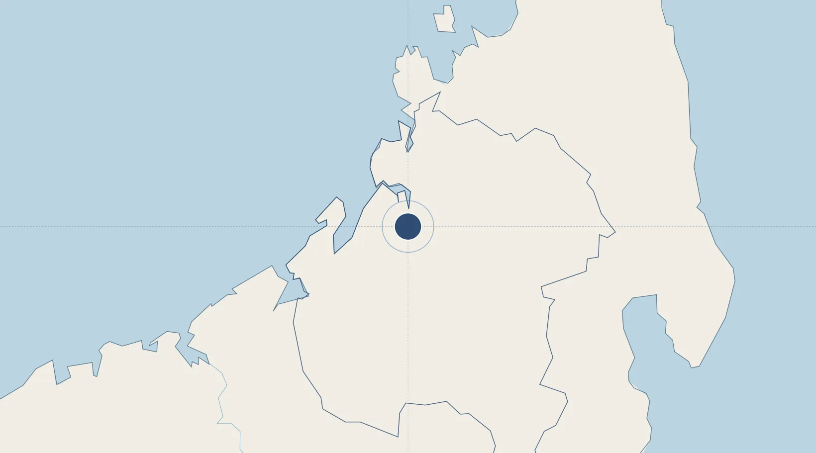
-14.8988°, 47.9939°
4,921 ft
Longest runway
1
Runways
92 ft
Elevation

Runway & Layout

Ambalabe Airport runway & taxiway layout
Runway & taxiway layout — OpenStreetMap (ODbL) / OurAirports

Radio Frequencies

A/G
548.4 MHz
A/G VOICE RDO
AFIS
118.1 MHz
AFIS INFO
OurAirports

Navaids

AT NDB Antsohihy 374 kHz
OurAirports

Runways · 1

RunwayDimensions SurfaceTrue headingLit
01/19 4,921 × 98ft Asphalt 002°
OurAirports

Airport Specifications

IATA code
WAI
OurAirports
ICAO code
FMNW
OurAirports
Airport class
Medium airport
OurAirports
Scheduled service
No
OurAirports
Runway surface
Asphalt
OurAirports
Served city
Antsohihy
OurAirports

Location

Location of FMNW
Natural Earth 10m (public domain) · Sofia · FMNW · -14.90, 47.99GoogleOSMYandex

Nearby Logistics Neighbours

Airports
  1. 1Analalava Airport39 km
  2. 2Andapa Airport177 km
  3. 3Nosy Be-Fascene International Airport180 km
  4. 4Maroantsetra Airport192 km
  5. 5Amborovy Airport196 km
Nearest neighbours — logibook spatial index (haversine) over the source coordinates
Cities
  1. 1Nosy-Be176 km
  2. 2Antsiranana324 km
  3. 3Dzaoudzi-Pamandzi Apt374 km
  4. 4Chirongui377 km
  5. 5Bandrele378 km
Nearest neighbours — logibook spatial index (haversine) over the source coordinates
Ports
  1. 1Mahajanga203 km
  2. 2Maroantsetra205 km
  3. 3Antsiranana324 km
  4. 4Dzaoudzi378 km
  5. 5Toamasina394 km
Nearest neighbours — logibook spatial index (haversine) over the source coordinates
Trade Zones
  1. 1Diego Suarez Andrakaka Multi-Sectoral Zone324 km
  2. 2Tsarakofafa Special Economic Zone391 km
  3. 3Toamasina Autonomous Port393 km
  4. 4Moramanga Textile City Zone449 km
  5. 5Crusse & Jamali Special Economic Zone770 km
Nearest neighbours — logibook spatial index (haversine) over the source coordinates
DatabookThe Record of Consolidated Knowledge
Madagascar beyond logistics?
Browse databook

All Sources

AirportsOurAirports
Public domain
Portsthe NGA World Port Index
Public domain (US gov)
LocationsUN/LOCODE
UN/LOCODE — free
Trade Zonesthe World Bank SEZ database
CC BY 4.0
Trade ZonesOpen Zone Map
CC BY
InfrastructureOpenStreetMap
ODbL 1.0
← Madagascar airports