Runway & Layout

Airport Specifications
IATA code
DWB
ICAO code
FMNO
Airport class
Small airport
Scheduled service
Yes
Served city
Soalala
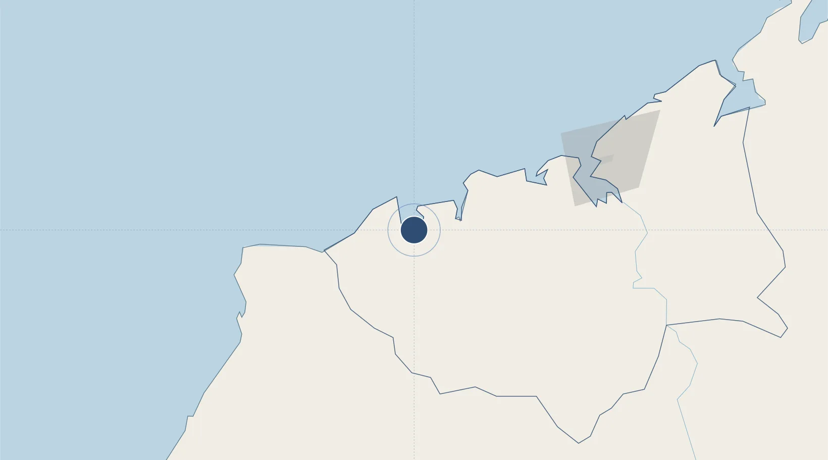
Location
Nearby Logistics Neighbours
Airports
- 1Amborovy Airport117 km
- 2Besalampy Airport118 km
- 3Tambohorano Airport212 km
- 4Tsaratanana Airport252 km
- 5Analalava Airport305 km
Cities
- 1Kani-Kéli352 km
- 2Chirongui353 km
- 3Bandrele357 km
- 4Dzaoudzi-Pamandzi Apt367 km
- 5Mamoudzou369 km
Ports
- 1Mahajanga109 km
- 2Maintirano261 km
- 3Dzaoudzi369 km
- 4Moutsamoudu451 km
- 5Fomboni460 km
Trade Zones
DatabookThe Record of Consolidated Knowledge
Madagascar beyond logistics?