Channel & Berth Profile
Pilotage, Tugs & Services
Pilotage compulsoryNO
Facilities & Capabilities
Container—
Ro-Ro—
Liquid bulk—
Dry bulk—
Oil terminal—
Break bulk—
Dry dock—
Repairs—
Bunkering—
Rail link—
Dangerous cargo—
ISPS security—
Harbour Specifications
Harbour size
Very Small
Harbour type
Open Roadstead
Shelter
Poor
Water body
Mozambique Channel; Indian Ocean
Tidal range
2 m
Pilotage
No
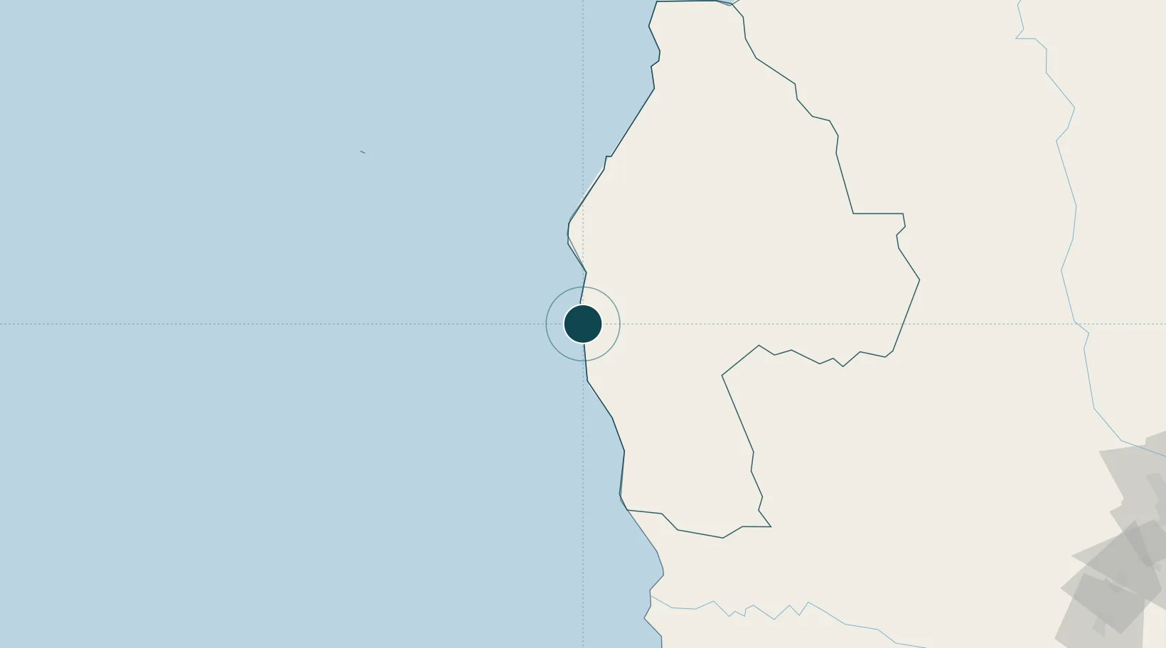
Location
Nearby Logistics Neighbours
Ports
- 1Morondava248 km
- 2Mahajanga357 km
- 3Mocambique486 km
- 4Nacala531 km
- 5Toamasina571 km
Cities
- 1Coropoa491 km
- 2Nacala527 km
- 3Meconta563 km
- 4Tamatave (Toamasina)570 km
- 5Kani-Kéli581 km
Airports
- 1Tambohorano Airport66 km
- 2Besalampy Airport155 km
- 3Miandrivazo Airport225 km
- 4Morondava Airport249 km
- 5Soalala Airport261 km
Trade Zones
DatabookThe Record of Consolidated Knowledge
Madagascar beyond logistics?