Runway & Layout
Airport Specifications
IATA code
TTS
ICAO code
FMNT
Airport class
Small airport
Scheduled service
Yes
Served city
Tsaratanana
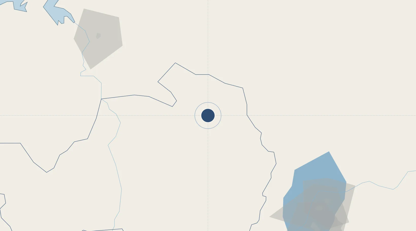
Location
Nearby Logistics Neighbours
Airports
- 1Amborovy Airport181 km
- 2Ambalabe Airport210 km
- 3Ivato International Airport228 km
- 4Analalava Airport236 km
- 5Sainte Marie Airport237 km
Cities
- 1Tamatave (Toamasina)246 km
- 2Nosy-Be386 km
- 3Chirongui501 km
- 4Kani-Kéli502 km
- 5Bandrele503 km
Ports
- 1Mahajanga182 km
- 2Toamasina247 km
- 3Maroantsetra276 km
- 4Maintirano409 km
- 5Mananjary506 km
Trade Zones
DatabookThe Record of Consolidated Knowledge
Madagascar beyond logistics?