Transport Functions
Port
Airport
Postal
Hub Profile
Place type
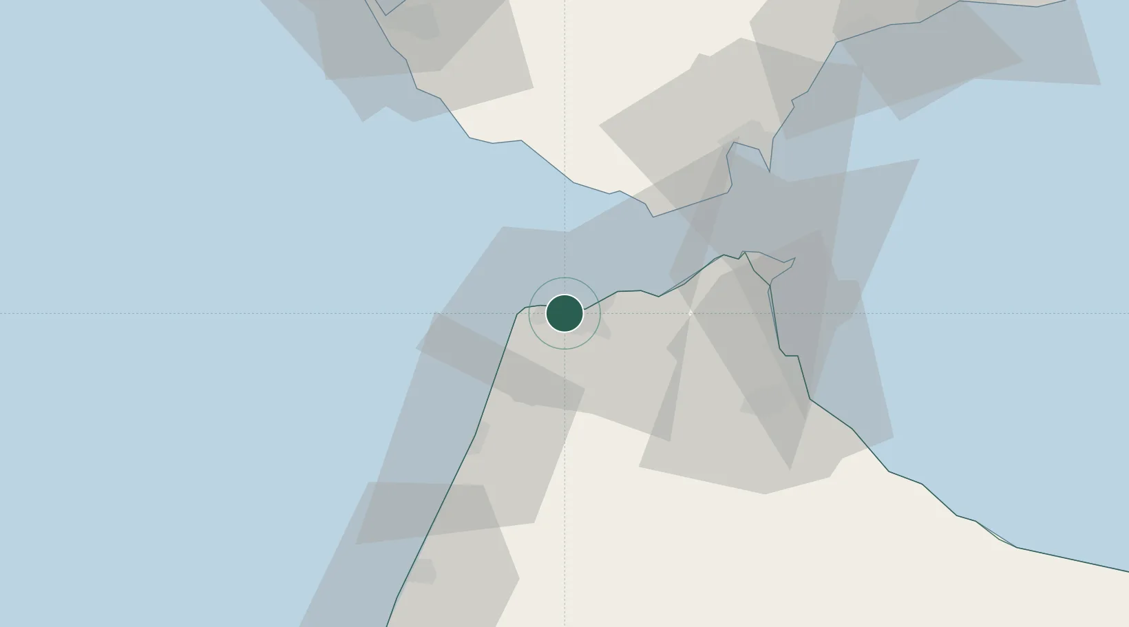
Regional capital
Region
Tanger-Tetouan-Al Hoceima
Population
1,035,141
Time zone
Africa/Casablanca
Elevation
20 m
Location
Nearby Logistics Neighbours
Cities
- 1Tanger Med26 km
- 2Zahara de los Atunes39 km
- 3Tahivilla45 km
- 4Barbate45 km
- 5Tétouan46 km
Ports
- 1Tangier-Mediterranean30 km
- 2Ceuta47 km
- 3Algeciras52 km
- 4Cadiz94 km
- 5Rota104 km
Airports
- 1Tangier Ibn Battuta Airport11 km
- 2Ceuta Heliport48 km
- 3Sania Ramel Airport50 km
- 4Algeciras Heliport51 km
- 5Gibraltar Airport59 km
Trade Zones
DatabookThe Record of Consolidated Knowledge
Morocco beyond logistics?