UN/LOCODE hub · Lithuania
LTKLJ
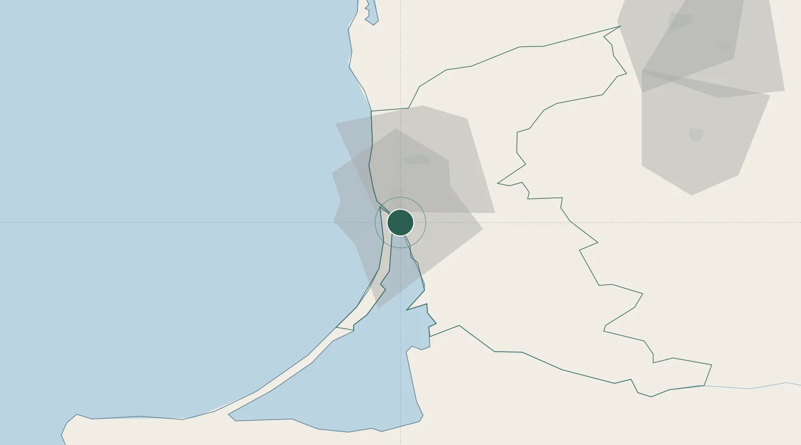
Klaipeda
55.6657°, 21.1603°
172,292
Population
3
Transport functions
2
Container terminals
Transport Functions
Port
Rail
Airport
Hub Profile
Place type
Regional capital
Region
Klaipėda County
Population
172,292
Time zone
Europe/Vilnius
Elevation
6 m
Logistics facilities
6
Container terminals
2
Location
Nearby Logistics Neighbours
Cities
Ports
- 1Butinge Oil Terminal43 km
- 2Liepaja95 km
- 3Kaliningrad116 km
- 4Baltiysk140 km
- 5Ventspils194 km
Airports
Trade Zones
- 1Klaipėda Free Economic Zone28 km
- 2Liepāja SEZ72 km
- 3Akmenė Free Economic Zone117 km
- 4ō iauliai Free Economic Zone140 km
- 5Marijampolė Free Economic Zone184 km
DatabookThe Record of Consolidated Knowledge
Lithuania beyond logistics?