UN/LOCODE hub · Lithuania
LTGZD

Gargzdai

55.7000°, 21.4000°
16,433
Population
2
Transport functions

Transport Functions

Road
Multimodal
UN/LOCODE

Hub Profile

Place type
Populated place
GeoNames
Region
Klaipėda County
GeoNames
Population
16,433
GeoNames
Time zone
Europe/Vilnius
GeoNames
Elevation
27 m
GeoNames

Location

Location of LTGZD
Natural Earth 10m (public domain) · Klaipėda County · LTGZD · 55.70, 21.40GoogleOSMYandex

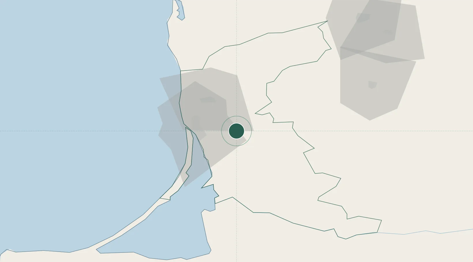
Nearby Logistics Neighbours

Cities
  1. 1Klaipeda16 km
  2. 2Malku ilankos juru uosto PVP/Klaipeda18 km
  3. 3Molo juru uosto PVP/Klaipeda19 km
  4. 4Pilies juru uosto PVP/Klaipeda20 km
  5. 5Kalote20 km
Nearest neighbours — logibook spatial index (haversine) over the source coordinates
Ports
  1. 1Klaipeda18 km
  2. 2Butinge Oil Terminal47 km
  3. 3Liepaja94 km
  4. 4Kaliningrad126 km
  5. 5Baltiysk152 km
Nearest neighbours — logibook spatial index (haversine) over the source coordinates
Airports
  1. 1Palanga International Airport36 km
  2. 2Liepāja International Airport93 km
  3. 3Khrabrovo Airport103 km
  4. 4Kaliningrad Chkalovsk Naval Air Base122 km
  5. 5Chernyakhovsk Naval Air Base125 km
Nearest neighbours — logibook spatial index (haversine) over the source coordinates
Trade Zones
  1. 1Klaipėda Free Economic Zone37 km
  2. 2Liepāja SEZ71 km
  3. 3Akmenė Free Economic Zone103 km
  4. 4ō iauliai Free Economic Zone125 km
  5. 5Kėdainiai Free Economic Zone170 km
Nearest neighbours — logibook spatial index (haversine) over the source coordinates
DatabookThe Record of Consolidated Knowledge
Lithuania beyond logistics?
Browse databook

All Sources

LocationsUN/LOCODE
UN/LOCODE — free
LocationsGeoNames
CC BY 4.0
Portsthe NGA World Port Index
Public domain (US gov)
AirportsOurAirports
Public domain
Trade Zonesthe World Bank SEZ database
CC BY 4.0
Trade ZonesOpen Zone Map
CC BY
← Lithuania locations