UN/LOCODE hub · Lithuania
LTPLM

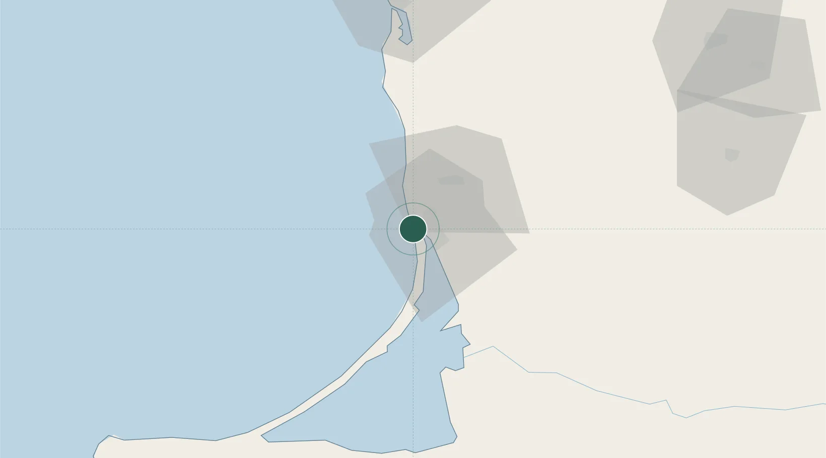
Pilies juru uosto PVP/Klaipeda

55.7167°, 21.0833°
3
Transport functions

Transport Functions

Port
Road
Border Crossing
UN/LOCODE

Hub Profile

Region
KL
GeoNames

Location

Location of LTPLM
Natural Earth 10m (public domain) · KL · LTPLM · 55.72, 21.08GoogleOSMYandex

Nearby Logistics Neighbours

Cities
  1. 1Molo juru uosto PVP/Klaipeda1 km
  2. 2Malku ilankos juru uosto PVP/Klaipeda2 km
  3. 3Klaipeda7 km
  4. 4Kalote8 km
  5. 5Gargzdai20 km
Nearest neighbours — logibook spatial index (haversine) over the source coordinates
Ports
  1. 1Klaipeda2 km
  2. 2Butinge Oil Terminal36 km
  3. 3Liepaja89 km
  4. 4Kaliningrad119 km
  5. 5Baltiysk142 km
Nearest neighbours — logibook spatial index (haversine) over the source coordinates
Airports
  1. 1Palanga International Airport29 km
  2. 2Liepāja International Airport89 km
  3. 3Khrabrovo Airport97 km
  4. 4Kaliningrad Chkalovsk Naval Air Base114 km
  5. 5Chernyakhovsk Naval Air Base132 km
Nearest neighbours — logibook spatial index (haversine) over the source coordinates
Trade Zones
  1. 1Klaipėda Free Economic Zone34 km
  2. 2Liepāja SEZ65 km
  3. 3Akmenė Free Economic Zone119 km
  4. 4ō iauliai Free Economic Zone144 km
  5. 5Free port of Ventspils189 km
Nearest neighbours — logibook spatial index (haversine) over the source coordinates
DatabookThe Record of Consolidated Knowledge
Lithuania beyond logistics?
Browse databook

All Sources

LocationsUN/LOCODE
UN/LOCODE — free
Portsthe NGA World Port Index
Public domain (US gov)
AirportsOurAirports
Public domain
Trade Zonesthe World Bank SEZ database
CC BY 4.0
Trade ZonesOpen Zone Map
CC BY
← Lithuania locations