Transport Functions
Port
Hub Profile
Place type
Populated place
Region
Southern Province
Time zone
Asia/Colombo
Elevation
10 m
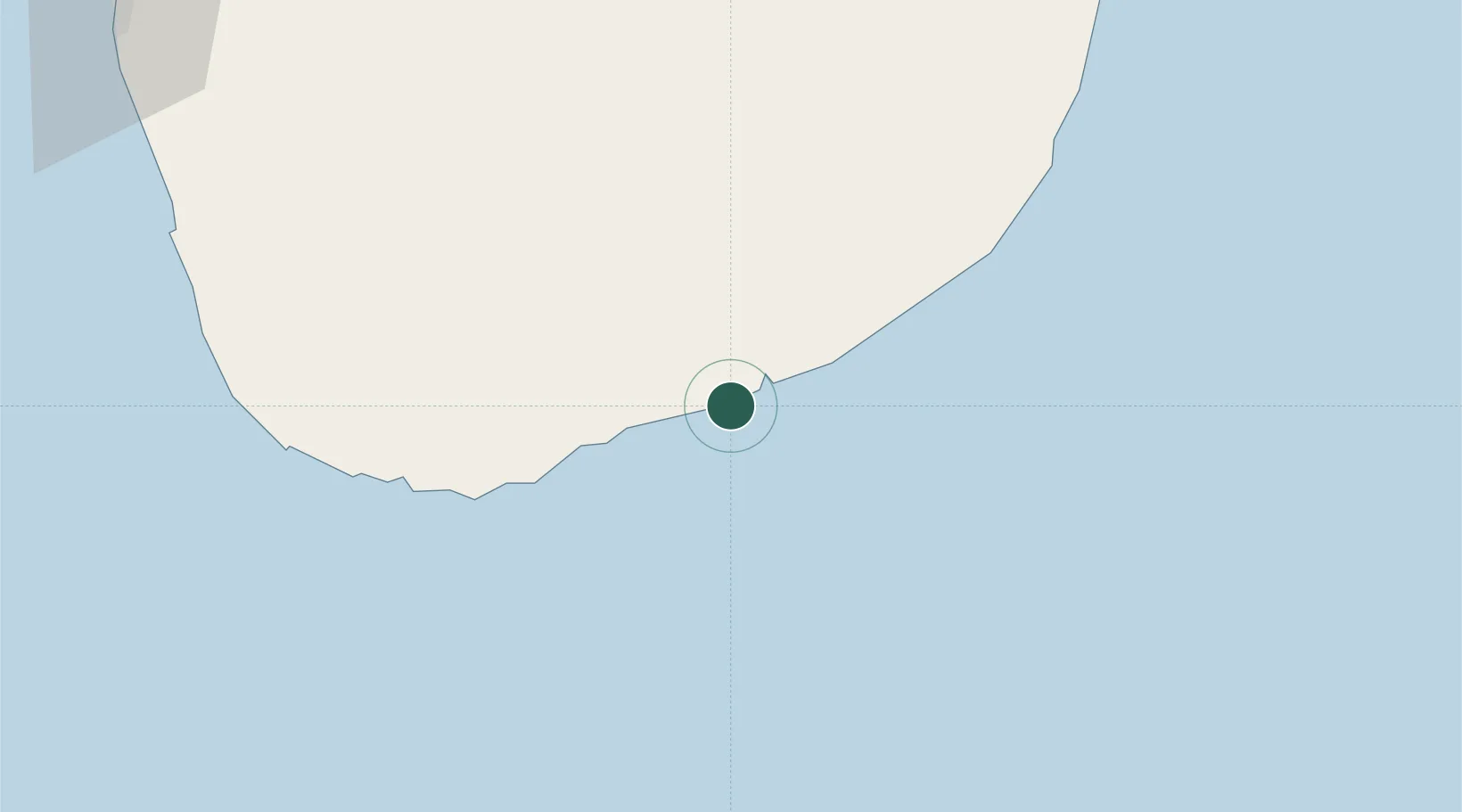
Location
Nearby Logistics Neighbours
Cities
- 1Mawella45 km
- 2Katuwawala51 km
- 3Kamburupitiya61 km
- 4Ibbawala80 km
- 5Koggala88 km
Ports
- 1Galle Harbor99 km
- 2Colombo168 km
- 3Trincomalee Harbor271 km
- 4Kankesanturai428 km
- 5Tuticorin441 km
Airports
DatabookThe Record of Consolidated Knowledge
Sri Lanka beyond logistics?