Transport Functions
Multimodal
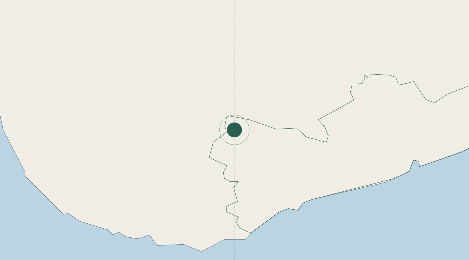
Hub Profile
Place type
Populated place
Region
Western Province
Time zone
Asia/Colombo
Elevation
13 m
Location
Nearby Logistics Neighbours
Cities
- 1Kamburupitiya24 km
- 2Mawella32 km
- 3Ibbawala43 km
- 4Koggala50 km
- 5Hambantota51 km
Ports
- 1Hambantota53 km
- 2Galle Harbor57 km
- 3Colombo119 km
- 4Trincomalee Harbor261 km
- 5Tuticorin395 km
Airports
DatabookThe Record of Consolidated Knowledge
Sri Lanka beyond logistics?