Runway & Layout

Airport Specifications
IATA code
TTW
Airport class
Seaplane base
Scheduled service
Yes
Served city
Tissamaharama
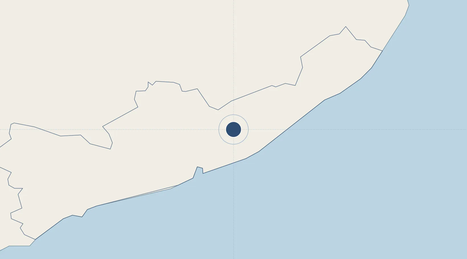
Location
Nearby Logistics Neighbours
Airports
- 1Mattala Rajapaksa International Airport18 km
- 2Hambantota Seaplane Base28 km
- 3Koggala Airport112 km
- 4Ampara Airport122 km
- 5Polgolla Reservoir Seaplane Base136 km
Cities
- 1Hambantota27 km
- 2Katuwawala67 km
- 3Mawella70 km
- 4Kamburupitiya83 km
- 5Hatton102 km
Ports
- 1Hambantota26 km
- 2Galle Harbor121 km
- 3Colombo175 km
- 4Trincomalee Harbor252 km
- 5Kankesanturai416 km
Trade Zones
DatabookThe Record of Consolidated Knowledge
Sri Lanka beyond logistics?