UN/LOCODE hub · South Korea
KRYNY

Yangyang-gun

38.0667°, 128.6167°
3
Transport functions

Transport Functions

Rail
Road
Airport
UN/LOCODE

Hub Profile

Region
42
GeoNames

Location

Location of KRYNY
Natural Earth 10m (public domain) · 42 · KRYNY · 38.07, 128.62GoogleOSMYandex

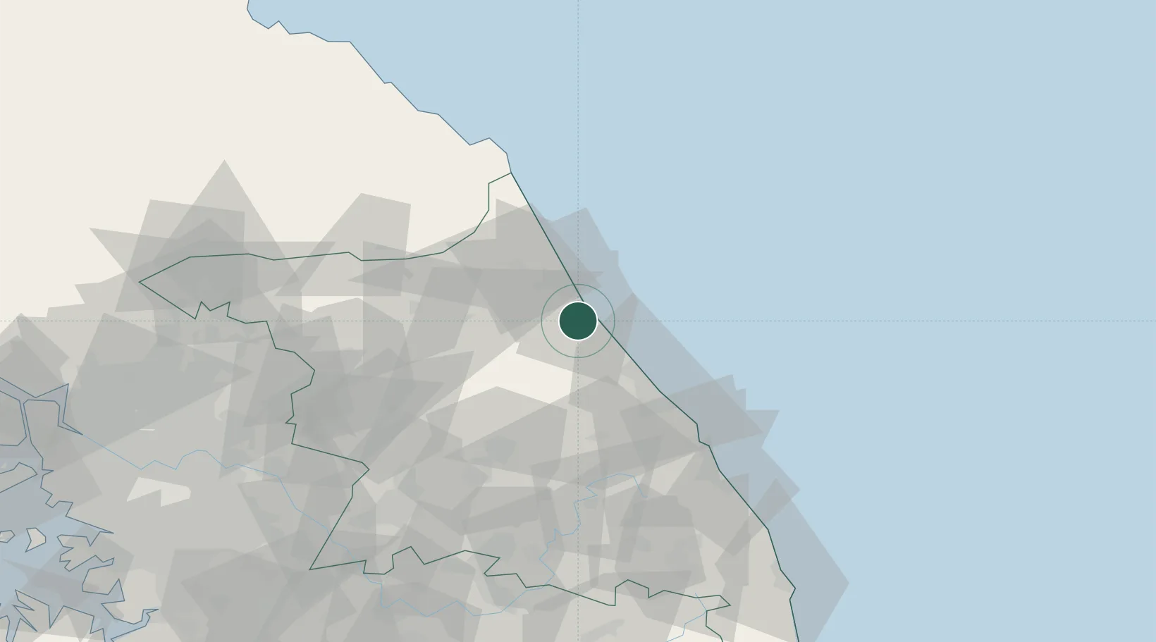
Nearby Logistics Neighbours

Cities
  1. 1Sokcho15 km
  2. 2Jumunjin28 km
  3. 3Goseong-gun36 km
  4. 4Gangneung43 km
  5. 5Yanggu-gun56 km
Nearest neighbours — logibook spatial index (haversine) over the source coordinates
Ports
  1. 1Sokch'o Hang15 km
  2. 2Mukho71 km
  3. 3Tonghae76 km
  4. 4Wonsan159 km
  5. 5Inchon188 km
Nearest neighbours — logibook spatial index (haversine) over the source coordinates
Airports
  1. 1Yangyang International Airport5 km
  2. 2Gangneung Airport (K-18)45 km
  3. 3Wonju Airport / Hoengseong Air Base (K-38/K-46)91 km
  4. 4Jungwon Air Base/Chungju Airport132 km
  5. 5Seoul Air Base (K-16)149 km
Nearest neighbours — logibook spatial index (haversine) over the source coordinates
DatabookThe Record of Consolidated Knowledge
South Korea beyond logistics?
Browse databook

All Sources

LocationsUN/LOCODE
UN/LOCODE — free
Portsthe NGA World Port Index
Public domain (US gov)
AirportsOurAirports
Public domain
Trade Zonesthe World Bank SEZ database
CC BY 4.0
Trade ZonesOpen Zone Map
CC BY
← South Korea locations