Transport Functions
Port
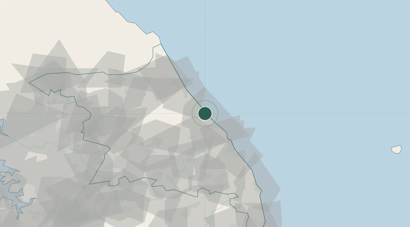
Hub Profile
Place type
Populated place
Region
Gangwon-do
Population
20,600
Time zone
Asia/Seoul
Elevation
9 m
Location
Nearby Logistics Neighbours
Cities
- 1Gangneung16 km
- 2Yangyang-gun28 km
- 3Okgye/Gangneung36 km
- 4Sokcho42 km
- 5Mukho/Donghae45 km
Ports
- 1Sokch'o Hang41 km
- 2Mukho43 km
- 3Tonghae48 km
- 4Wonsan187 km
- 5Inchon201 km
Airports
DatabookThe Record of Consolidated Knowledge
South Korea beyond logistics?