Specialized Zone · South Korea

Mangsang International Multifunctional Tour City Active
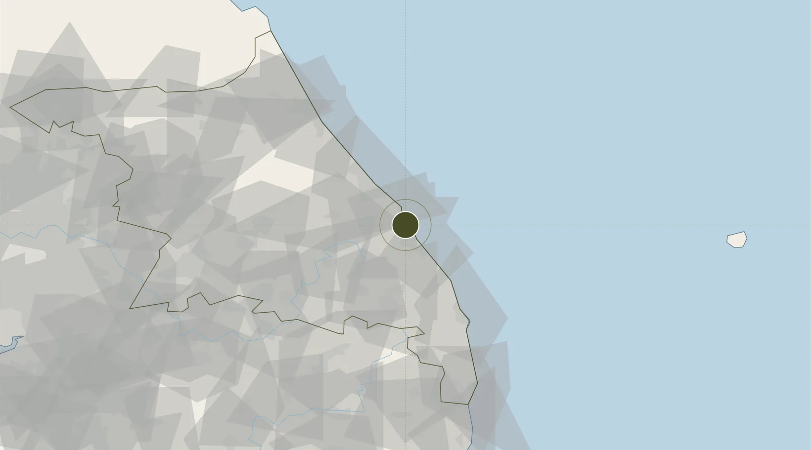
37.5810°, 129.0873°
394 ha
Zone area
3.0 km
Nearest port
23.0 km
Nearest airport

Gateway access

Nearest neighbours — logibook spatial index (haversine) over the source coordinates

Zone profile

Zone type
Specialized Zone
Open Zone Map
Specialization
Tourism
Open Zone Map
Region
Gangwon
Open Zone Map
Status
Active
Open Zone Map
Management
Public
Open Zone Map
Operator
East Coast Free Economic Zone Authority
Open Zone Map
Legal framework
Special Act On Designation And Management Of Free Economic Zones Expand Act No. 15309, Dec. 26, 2017, Foreign Investment Promotion Act: Expand Act No. 16131, Dec. 31, 2018.
Open Zone Map

Location

Location of ozm-4311
Natural Earth 10m (public domain) · Gangwon · ozm-4311 · 37.58, 129.09GoogleOSMYandex

Nearby Logistics Neighbours

Ports
  1. 1Mukho3 km
  2. 2Tonghae8 km
  3. 3Sokch'o Hang81 km
  4. 4Pohang172 km
  5. 5Pyeongtaek Hang212 km
Nearest neighbours — logibook spatial index (haversine) over the source coordinates
Airports
  1. 1Gangneung Airport (K-18)23 km
  2. 2Yangyang International Airport65 km
  3. 3Wonju Airport / Hoengseong Air Base (K-38/K-46)101 km
  4. 4Jungwon Air Base/Chungju Airport123 km
  5. 5Yecheon Airbase124 km
Nearest neighbours — logibook spatial index (haversine) over the source coordinates
Cities
  1. 1Okgye/Gangneung5 km
  2. 2Mukho/Donghae5 km
  3. 3Tonghae5 km
  4. 4Bupyong/Incheon10 km
  5. 5Donghae11 km
Nearest neighbours — logibook spatial index (haversine) over the source coordinates
DatabookThe Record of Consolidated Knowledge
South Korea beyond logistics?
Browse databook

All Sources

Trade ZonesOpen Zone Map
CC BY
Portsthe NGA World Port Index
Public domain (US gov)
AirportsOurAirports
Public domain
LocationsUN/LOCODE
UN/LOCODE — free
← South Korea trade zones