UN/LOCODE hub · South Korea
KRKAG
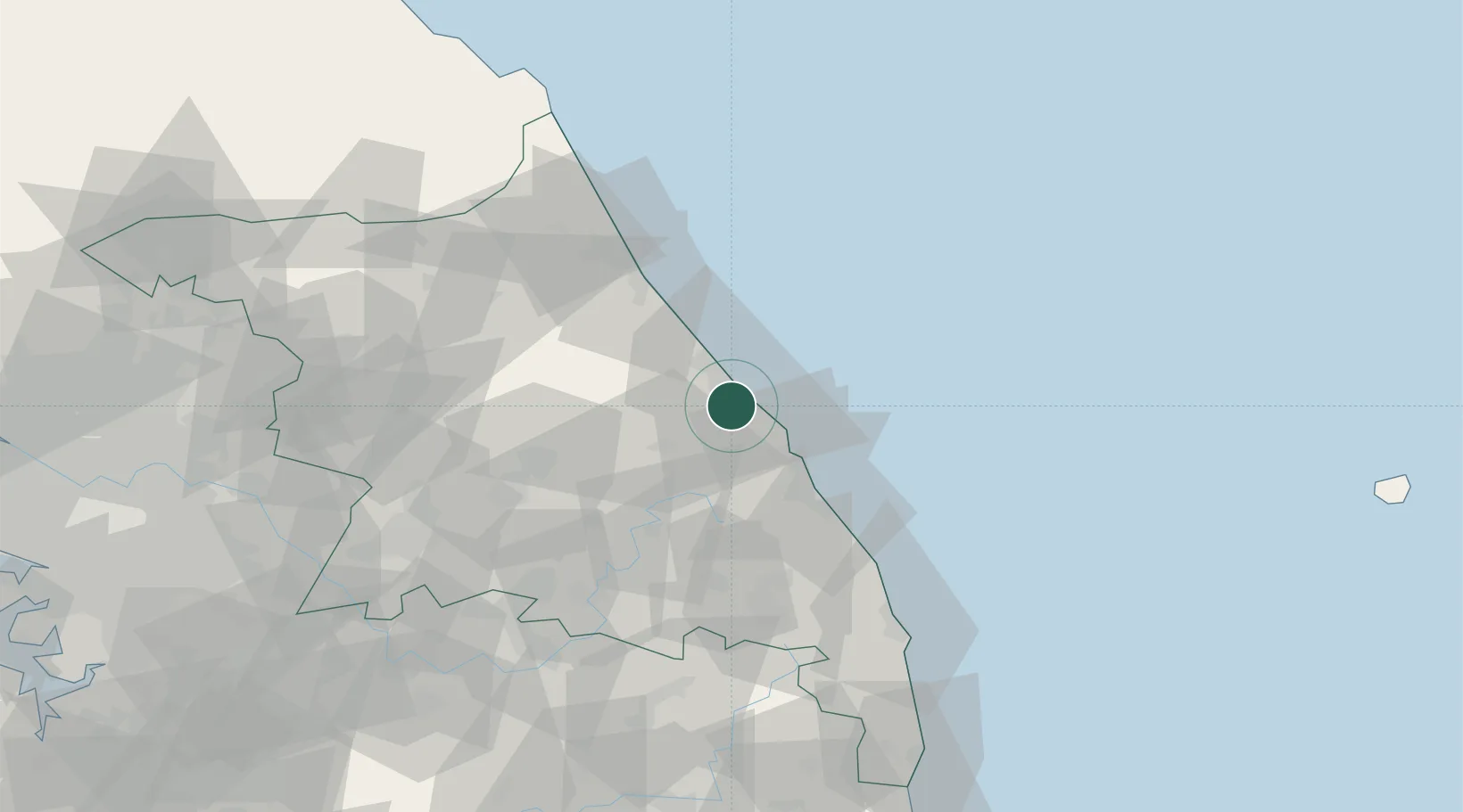
Gangneung
37.7500°, 128.9000°
208,161
Population
3
Transport functions
Transport Functions
Rail
Road
Airport
Hub Profile
Place type
District seat
Region
Gangwon-do
Population
208,161
Time zone
Asia/Seoul
Elevation
77 m
Location
Nearby Logistics Neighbours
Cities
- 1Jumunjin16 km
- 2Okgye/Gangneung20 km
- 3Mukho/Donghae30 km
- 4Tonghae30 km
- 5Bupyong/Incheon35 km
Ports
- 1Mukho28 km
- 2Tonghae33 km
- 3Sokch'o Hang57 km
- 4Pohang194 km
- 5Wonsan202 km
Airports
DatabookThe Record of Consolidated Knowledge
South Korea beyond logistics?