UN/LOCODE hub · South Korea
KRGSG

Goseong-gun

38.3667°, 128.4667°
2
Transport functions

Transport Functions

Rail
Road
UN/LOCODE

Hub Profile

Region
42
GeoNames

Location

Location of KRGSG
Natural Earth 10m (public domain) · 42 · KRGSG · 38.37, 128.47GoogleOSMYandex

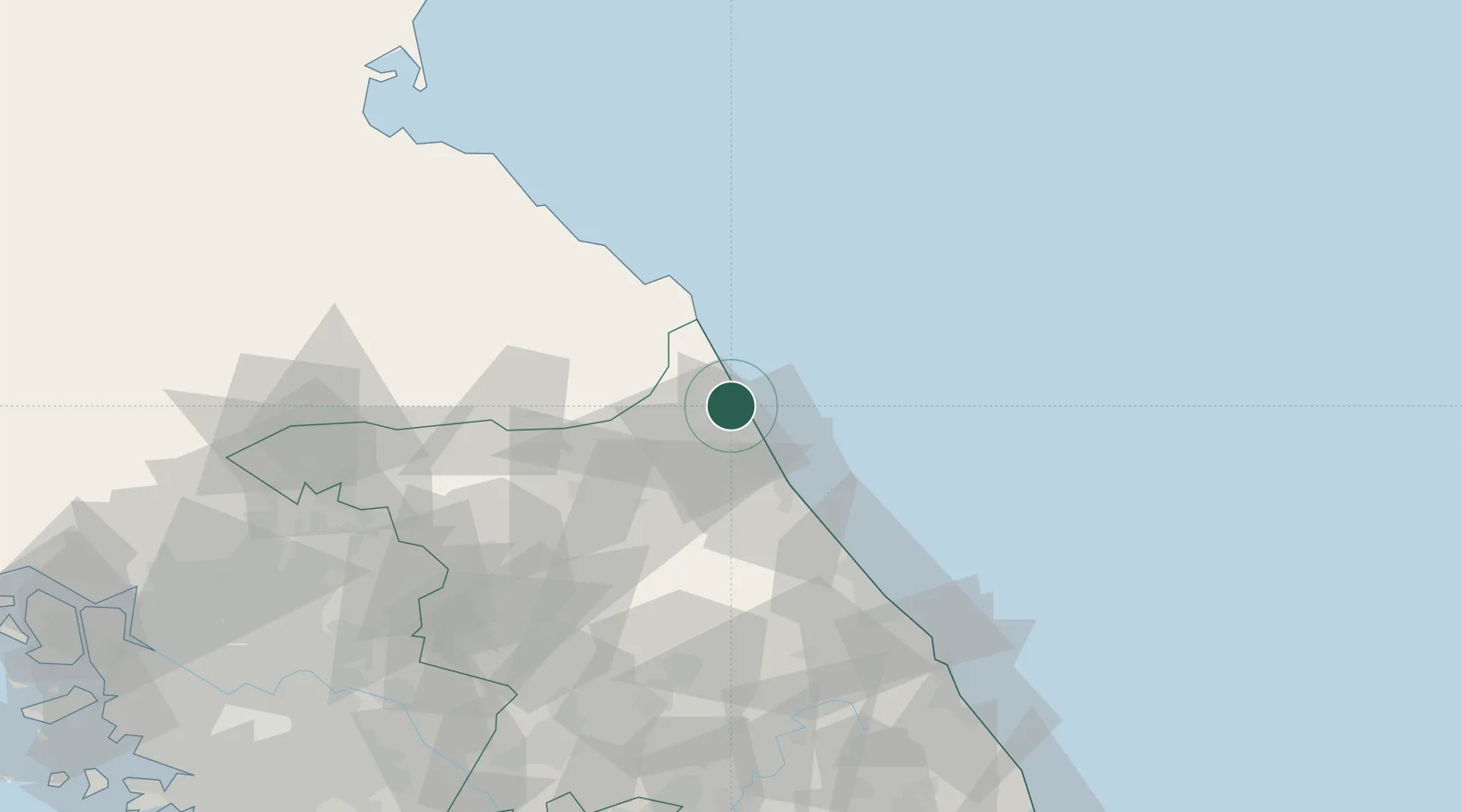
Nearby Logistics Neighbours

Cities
  1. 1Sokcho21 km
  2. 2Yangyang-gun36 km
  3. 3Inje-gun44 km
  4. 4Yanggu-gun52 km
  5. 5Jumunjin63 km
Nearest neighbours — logibook spatial index (haversine) over the source coordinates
Ports
  1. 1Sokch'o Hang22 km
  2. 2Mukho106 km
  3. 3Tonghae110 km
  4. 4Wonsan125 km
  5. 5Hungnam179 km
Nearest neighbours — logibook spatial index (haversine) over the source coordinates
Airports
  1. 1Yangyang International Airport38 km
  2. 2Gangneung Airport (K-18)80 km
  3. 3Wonju Airport / Hoengseong Air Base (K-38/K-46)113 km
  4. 4Wonsan Kalma International Airport123 km
  5. 5Seoul Air Base (K-16)157 km
Nearest neighbours — logibook spatial index (haversine) over the source coordinates
DatabookThe Record of Consolidated Knowledge
South Korea beyond logistics?
Browse databook

All Sources

LocationsUN/LOCODE
UN/LOCODE — free
Portsthe NGA World Port Index
Public domain (US gov)
AirportsOurAirports
Public domain
Trade Zonesthe World Bank SEZ database
CC BY 4.0
Trade ZonesOpen Zone Map
CC BY
← South Korea locations