Transport Functions
Port
Road
Hub Profile
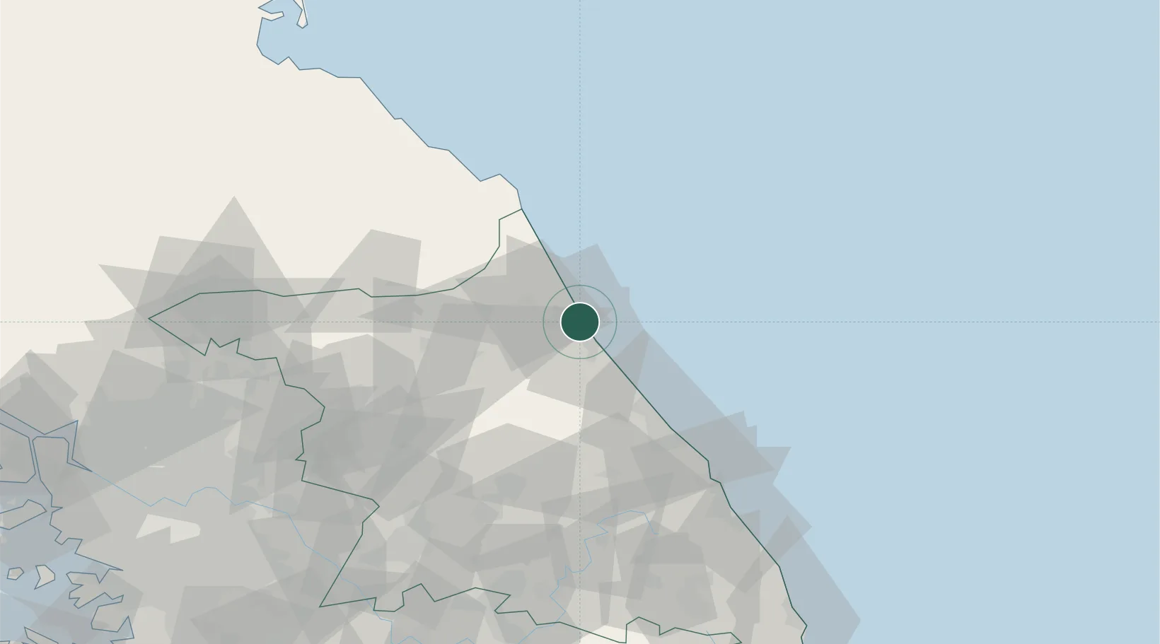
Place type
Provincial seat
Region
Gangwon-do
Population
81,164
Time zone
Asia/Seoul
Elevation
20 m
Location
Nearby Logistics Neighbours
Cities
- 1Yangyang-gun15 km
- 2Goseong-gun21 km
- 3Jumunjin42 km
- 4Yanggu-gun54 km
- 5Gangneung57 km
Airports
DatabookThe Record of Consolidated Knowledge
South Korea beyond logistics?